We use cookies to make your experience better. To comply with the new e-Privacy directive, we need to ask for your consent to set the cookies. Learn more
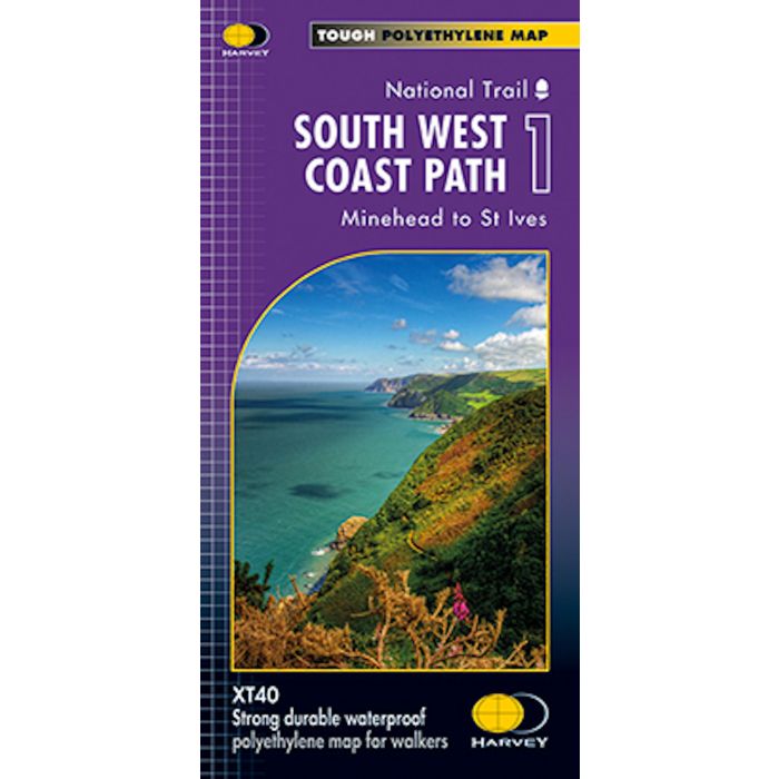
South West Coast Path 1 2015 XT40 Map
Minehead to St Ives
£16.50
In Stock
Usually dispatched within 24 hrs. Free delivery to UK for orders £25 and over
| Cordee Code: | CMH239 |
|---|---|
| Page Size: | 120 x 210 mm |
| Publisher: | Harvey Maps |
| ISBN13: | 9781851375547 |
| Author: | Harvey Map |
| Published Date: | June 2015 |
| Edition: | 2015 edition |
| Binding: | Sheet Map (folded) In Wallet |
| Weight: | 100g |
| Product Type: | Map |
| Countries: | United Kingdom |
The South West Coast Path is Britiain's longest and one of its most popular National Trails. It runs along the coast of Somerset, Cornwall, Devon, and Dorset from Minehead round via Land's End to Poole. It includes all 95 miles of the World Heritage site known as the Jurassic Coast.
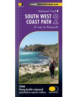
3 HARVEY maps cover the whole 630-mile route. Each map covers a section of the Path suitable for 2 weeks of walking.
Map 1 covers the Path from the start at Minehead to St Ives.
This map is bio-degradable.
Information on finding accommodation, camping, food. Directions to the start. Also Ranger Service contact numbers and enlargements of towns/villages showing facilities available and tips on weather and clothing.
Detailed mapping, full legend. National Grid - can be used with GPS. 1:40,000 scale. Waterproof. Supplied in clear plastic pocket.
-
-
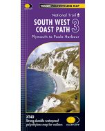 South West Coast Path 3 (2015) XT40 MapPlymouth to Poole Harbour£15.95
CMH241
In StockOut of stock