We use cookies to make your experience better. To comply with the new e-Privacy directive, we need to ask for your consent to set the cookies. Learn more
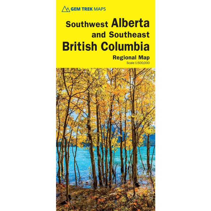
South West Alberta and Southeast BC explorers map 1:600K
Includes Logging Roads and Back Roads
£9.95
In Stock
Usually dispatched within 24 hrs. Free delivery to UK for orders £25 and over
| Cordee Code: | CMA629 |
|---|---|
| Page Size: | 270 x 390 mm |
| Publisher: | Summerthought Publishing |
| ISBN13: | 9781990161216 |
| Published Date: | February 2006 |
| Binding: | Sheet Map (folded) |
| Weight: | 100g |
| Product Type: | Map |
| Countries: | Canada |
The Southwest Alberta and Southeast British Columbia Map is designed for visitors looking to explore the regions east and west of the Canadian Rockies, including the Kootenays of British Columbia, the Alberta foothills, and west-central Alberta. All the major highways are shown, as well as national and provincial parks and wilderness areas. The map also shows lesser-known back roads, and pinpoints the location of lodges, campgrounds and hot springs. Mileage charts on the front and back provide distances between major towns and cities.
Map specs Edition: 8th Scale: 1:500,000 Folded size: 4.5 x 9.5 inches Flat size: 24 x 31 inches Map coverage Gem Trek?s Southwest Alberta and Southeast British Columbia Map divides the region into two halves. Although we've used the moniker - southwest Alberta - this map extends as far north as the provincial capital of Edmonton, which is roughly in the geographical centre of Alberta. On this side of the map, coverage extends west to Jasper National Park and south to Saskatchewan River Crossing and the Alberta towns of Crossfield and Carstairs.
The reverse side extends from these same towns south through Calgary to the southern Alberta town of Fort MacLeod and the U.S. border and west to Banff National Park, Glacier National Park on the Trans-Canada Highway and as west as the British Columbia towns of Nelson and Castlegar. Map features The Southwest Alberta and Southeast British Columbia Map includes: - relief shading to better show the topography - full colour on both sides - hydrology including rivers, rapids, glaciers, and waterfalls - mountain names and all available mountain elevations - all campgrounds with a handy chart showing campground details - points of interest and attractions as well as day use areas and highway viewpoints