We use cookies to make your experience better. To comply with the new e-Privacy directive, we need to ask for your consent to set the cookies. Learn more
South East England including London
OS Road Map 1:250,000
£7.99
In Stock
Usually dispatched within 24 hrs. Free delivery to UK for orders £25 and over
| Cordee Code: | OSR008 |
|---|---|
| Publisher: | Ordnance Survey |
| ISBN13: | 9780319263808 |
| Author: | Ordnance Survey |
| Published Date: | January 2020 |
| Edition: | January 2020 |
| Binding: | Sheet Map (folded) |
| Weight: | 130g |
| Product Type: | Map |
| Countries: | United Kingdom |
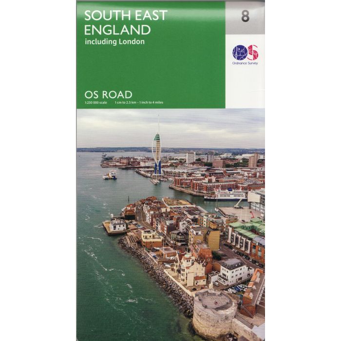
The OS Roadmaps series are single sided folded maps, the 8 maps provide GB 1: 250 000 coverage to enable the end user to navigate and plan their road journey. The maps include all motorways, primary routes and A roads plus detailed tourist information including National Parks, Country Parks and World Heritage sites and a useful town and city gazetteer. The eight maps in the series are Northern Scotland, Orkney & Shetland, Western Scotland and the Western Isles, Southern Scotland and Northumberland, Northern England, East Midlands and East Anglia, Wales/Cymru and West Midlands, South West England and South East England.