We use cookies to make your experience better. To comply with the new e-Privacy directive, we need to ask for your consent to set the cookies. Read our privacy and security policy

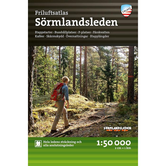
Sormlandsleden Friluftsatlas Outdoor atlas
£29.99
In Stock
Usually dispatched within 24 hrs. Free delivery to UK for orders £25 and over
| Cordee Code: | CMV365 |
|---|---|
| Page Size: | 125 x 190 mm |
| No of Pages: | 87 |
| Publisher: | Calazo Forlag Ab |
| ISBN13: | 9789189371200 |
| Scale: | 1:50 000 |
| Binding: | Paperback (flapped) |
| Illustrations: | Colour photos and mapping throughout |
| Weight: | 200g |
| Product Type: | Map |
| Countries: | Sweden |
Etappstarter - Busshallplatser - P-platser - Farksvatten - Kafeer - Skarmskydd - Overnattningar - Etapplangder
Don't you have a map of the Soermlandsleden? This is one of the most common questions we get from the publisher. We usually explain that it is not so easy to get a 100-mile-long trail onto one and the same map. This is how the idea was born to make a map atlas of the entire trail with all stage maps of the Soermlandsleden in one and the same place. The map atlas contains 38 specially developed terrain maps at a scale of 1:50,000, presented in a handy book format. A useful tool regardless of whether you are planning a short excursion or a long hike. Stage starts, car parks, accommodation, bus stops, connecting routes and more are clearly marked on the map. The map atlas is intended to function as a supplement to the Vandra Soermlandsleden guidebook.
Text in Swedish.
Don't you have a map of the Soermlandsleden? This is one of the most common questions we get from the publisher. We usually explain that it is not so easy to get a 100-mile-long trail onto one and the same map. This is how the idea was born to make a map atlas of the entire trail with all stage maps of the Soermlandsleden in one and the same place. The map atlas contains 38 specially developed terrain maps at a scale of 1:50,000, presented in a handy book format. A useful tool regardless of whether you are planning a short excursion or a long hike. Stage starts, car parks, accommodation, bus stops, connecting routes and more are clearly marked on the map. The map atlas is intended to function as a supplement to the Vandra Soermlandsleden guidebook.
Text in Swedish.