We use cookies to make your experience better. To comply with the new e-Privacy directive, we need to ask for your consent to set the cookies. Read our privacy and security policy

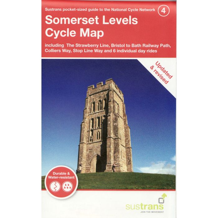
Somerset Levels Cycle Map 4
incl The Strawberry Line, Bristol to Bath Railway Path, ...
£8.70
In Stock
Usually dispatched within 24 hrs. Free delivery to UK for orders £25 and over
| Cordee Code: | CCY424 |
|---|---|
| Page Size: | 100 x 160 mm |
| No of Pages: | 2 |
| Publisher: | Walk Wheel Cycle Trust |
| ISBN13: | 9781914410666 |
| Scale: | 1;110 000 |
| Published Date: | August 2024 |
| Binding: | Sheet Map (folded) |
| Illustrations: | Full colour mappign |
| Weight: | 50g |
| Product Type: | Map |
The Somerset Levels is excellent for cycling. Sandwiched between the Mendip Hills and the Quantock Hills (both Areas of Outstanding Natural Beauty), there are flat pleasant cycle routes linking fascinating towns like Bridgwater, Glastonbury and Wells. The iconic Glastonbury Tor can be seen for miles around and the town has a real spiritual feel.
The tiny city of Wells boasts the 12th-century Wells Cathedral as well as much other historic architecture. Bridgwater, perched on both banks of the River Parrett, was once a major port and an industrial centre of Somerset.
The Somerset Levels map features a range of cycle routes, including the Strawberry Line, a 9-mile, family-friendly ride through some of Somerset's most beautiful landscapes. This map also covers the Bristol to Bath Railway Path, Colliers Way, the Stop Line Way and several day rides.
This pocket-sized colour map shows clearly mapped on-road and traffic-free paths, easy-to-read contours, and detailed inset maps for the major towns and cities as well as recommended linking routes connecting the NCN with quiet roads. The map also features 6 day rides with directions and a description of the area, highlighting key cycle routes, local history and places of interest.
The tiny city of Wells boasts the 12th-century Wells Cathedral as well as much other historic architecture. Bridgwater, perched on both banks of the River Parrett, was once a major port and an industrial centre of Somerset.
The Somerset Levels map features a range of cycle routes, including the Strawberry Line, a 9-mile, family-friendly ride through some of Somerset's most beautiful landscapes. This map also covers the Bristol to Bath Railway Path, Colliers Way, the Stop Line Way and several day rides.
This pocket-sized colour map shows clearly mapped on-road and traffic-free paths, easy-to-read contours, and detailed inset maps for the major towns and cities as well as recommended linking routes connecting the NCN with quiet roads. The map also features 6 day rides with directions and a description of the area, highlighting key cycle routes, local history and places of interest.