We use cookies to make your experience better. To comply with the new e-Privacy directive, we need to ask for your consent to set the cookies. Learn more
Snowdonia SOUTH BMC Mountain Map
1:40 000
£18.50
In Stock
Usually dispatched within 24 hrs. Free delivery to UK for orders £25 and over
| Cordee Code: | CMH172 |
|---|---|
| Page Size: | 125 x 240 mm |
| Publisher: | Harvey Maps |
| ISBN13: | 9781851374694 |
| Language: | English |
| Published Date: | October 2006 |
| Binding: | Waterproof Map (folded) |
| Weight: | 100g |
| Geoarea: | Snowdonia |
| Product Type: | Map |
| Countries: | United Kingdom |
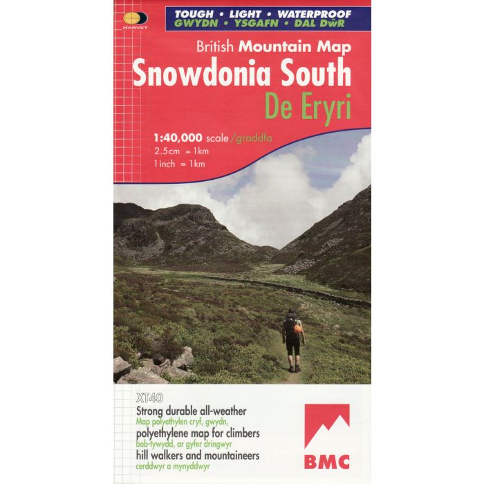
The key mountains of Southern Snowdonia on one map, including Cadair Idris, the Arans and Arenig Fawr printed on polyethylene - durable, tear-resistent and 100% waterproof.
This series is made in cooperation with the British Mountaineering Council and include colour shading for easy identification of hills and valleys and a geological map of Snowdonia supplied by the British Geological Survey.
It also includes mountain incident and first aid advice, tips on using your map and compass and useful local phone numbers and websites.