We use cookies to make your experience better. To comply with the new e-Privacy directive, we need to ask for your consent to set the cookies. Learn more
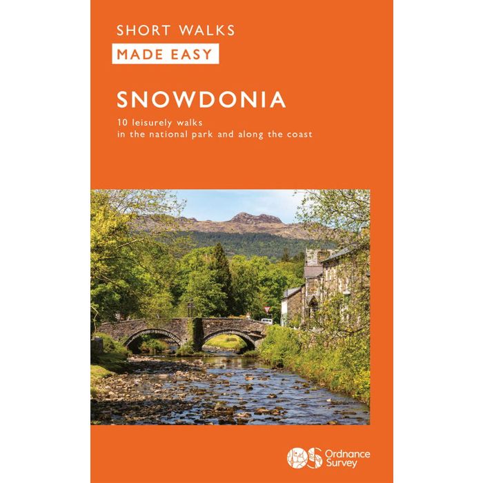
Snowdonia
Short Walks Made Easy
£6.99
In Stock
Usually dispatched within 24 hrs. Free delivery to UK for orders £25 and over
Everybody can explore Snowdonia, from England and Wales' highest mountain to magical medieval castles and the spectacular Conwy coastline, with these accessible, family-friendly walks. Get outside and active with the whole family amidst the mysterious legends and natural beauty of Snowdonia.
| Cordee Code: | OSW012 |
|---|---|
| Page Size: | 114 x 177 mm |
| No of Pages: | 80 |
| Publisher: | Ordnance Survey |
| ISBN13: | 9780319092323 |
| Published Date: | April 2023 |
| Edition: | April 2023 |
| Binding: | Paperback (flapped) |
| Illustrations: | Colour with OS base mapping |
| Weight: | 115g |
| Geoarea: | Snowdonia |
| Product Type: | Guide Books |
| Countries: | United Kingdom |
Everybody can explore Snowdonia, from England and Wales' highest mountain to magical medieval castles and the spectacular Conwy coastline, with these accessible, family-friendly walks. Get outside and active with the whole family amidst the mysterious legends and natural beauty of Snowdonia.
Snowdonia Short Walks Made Easy include:
- Take Victorian tramcars or the chairlift to the summit of the Great Orme, then wander wildflower-rich meadows for incredible views of the mountains, the sea and the Isle of Anglesey
- Follow the L?n Gwyrfai trail round beautiful Llyn y Gader through Beddgelert Forest to the lovely village, with views of Snowdon and Y Garn throughout
- Get off the beaten track in the valley of Cwm Penamnen with views of the cliffs of Moel Sabod and the 13th-century Dolwyddelan castle
- Discover Porthmadog on a fascinating walk over Borth-y-Gest headland, the ingenious Cob and the salt marshes home to many seabirds
- Explore Dolgellau and the riverside walk to Penmaenpool along the Mawddach Trail
- Stroll through idyllic lakeside woods at Llyn Mair, listening out for the steam trains and glimpsing beautiful views of the Vale of Ffestiniog
OS Pathfinder Guides: Short Walks Made Easy:
- 10 accessible walks suitable for the whole family
- All routes are between 2 to 5 miles and can be completed all year round
- Know what to expect before you go: Information on locations of cafes/pubs and toilets, terrain, hilliness and accessibility for pushchairs and wheelchairs
- Large-scale Ordnance Survey maps for ultra-easy navigation and route-finding, featuring intuitive pictorial symbols
- Numbered points which tie maps to route descriptions and walk profiles
- Route photographs for each numbered point so you know exactly where you're going
- Discover GPS waypoints, parking information and detailed route descriptions for foolproof navigation
- Enhance your adventure with stories behind each walk and nature notes
- Get active outside and enjoy the physical and mental health benefits
About OS Pathfinder Series
- 80 Pathfinder titles including 2,000 routes across England, Wales and Scotland
- Explore a wealth of walks, from Land's End to the Lleyn Peninsula, Shetland to Southwold, with the Pathfinder Series
- Titles include OS Pathfinder Guides, OS Short Walks Guides, OS City Walks Guides
Other titles of interest:
-

-
 Photographing The Snowdonia MountainsA Photo - Location and Hill Walking Guidebook£25.00
CPB168
Temp Out Of StockOut of stock -
 Snowdon Neck Gaiter Snood Scarf HISTORICOutdoor head, neck and facewear£16.00
CTO510
Temp Out Of Stock