We use cookies to make your experience better. To comply with the new e-Privacy directive, we need to ask for your consent to set the cookies. Learn more
Sikinos
1:25 000
£7.50
In Stock
Usually dispatched within 24 hrs. Free delivery to UK for orders £25 and over
| Cordee Code: | CMG122 |
|---|---|
| Page Size: | 115 x 240 mm |
| Publisher: | Anavasi |
| ISBN13: | 9789608195516 |
| Author: | Anavasi |
| Language: | English |
| Published Date: | November 2006 |
| Binding: | Sheet Map (folded) |
| Weight: | 50g |
| Product Type: | Map |
| Countries: | Greece |
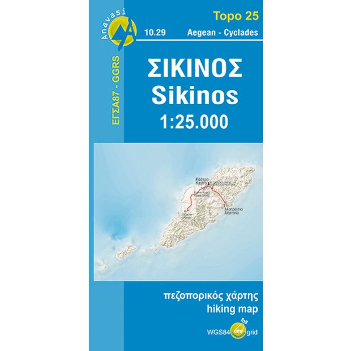
Sikinos resembles a minimalist canvas composed of few but authentic elements. With the exception of the old cobblestone path from the harbour to Chora, of which only less than jalf remains, the rest of the network of footpaths is intact - although somewhat neglected.
Anavasi has been at the forefront of developments in Greek cartography since the publication of its first map in 1997.
It remains the only Greek cartographic company to use scientific methods for the collection of field data and map composition, using GPS and Geographic Information Systems (GIS) for the organization and processing of data in over 100 thematic levels and creating databases on a national scale.
Anavasi was the first company to establish the use of the Greek Geodetic Reference System (EGSA 87) for maps (Topo series), and with the use of GIS was able to project on the maps precise coordinates for WGS84, the worldwide reference system for GPS. With a series of informative pamphlets and seminars, Anavasi has contributed to sp