We use cookies to make your experience better. To comply with the new e-Privacy directive, we need to ask for your consent to set the cookies. Learn more
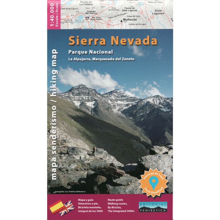
Sierra Nevada National Park West 1:40 000
La Alpujarra, Marquesado Del Zenete
£15.99
In Stock
Usually dispatched within 24 hrs. Free delivery to UK for orders £25 and over
Topographic walking map of the West of the Sierra Nevada National Park
| Cordee Code: | CMM216 |
|---|---|
| Page Size: | 125 x 215 mm |
| Publisher: | Editorial Penibetica |
| ISBN13: | 9788494997860 |
| Scale: | 1:40 000 |
| Published Date: | April 2021 |
| Edition: | 2021 |
| Binding: | Sheet Map (folded) |
| Weight: | 190g |
| Product Type: | Map |
| Countries: | Spain |
Sierra Nevada in Spain on a contoured, GPS compatible map at 1:40,000 from Editorial Penibetica, double-sided to provide coverage of its main trekking area on one map. Accompanying English language booklet provides descriptions of over 40 walks, details of campsites and huts, etc.
The map covers Alpujarras and Marquesado del Zenete, the western and central parts of the Sierra Nevada range, from just east of Granada to the A337 road crossing the mountains over the Puerto de la Ragua Pass, and shows both the southern and the northern approaches to the peaks including popular holiday bases of Lanjar?n and Orgiva. Contours are at 20m intervals enhanced by relief shading. The overprint highlights hiking trails, including the GR and PR routes, as well as cycling routes and cross-country or Nordic ski routes. Symbols indicate areas for climbing, canyoning and canoeing, refuges and mountain shelters, petrol stations on local roads, etc. The map has a 1-km UTM grid, plus latitude and longitude margin ticks. Map legend includes English.
The map comes with a 56-page booklet in English, providing descriptions of over 40 recommended hiking trails, including more challenging itineraries in higher altitudes, as well as notes about the GR7, recommendations for car tours, contact details for mountain huts and campsites, etc.