We use cookies to make your experience better. To comply with the new e-Privacy directive, we need to ask for your consent to set the cookies. Learn more
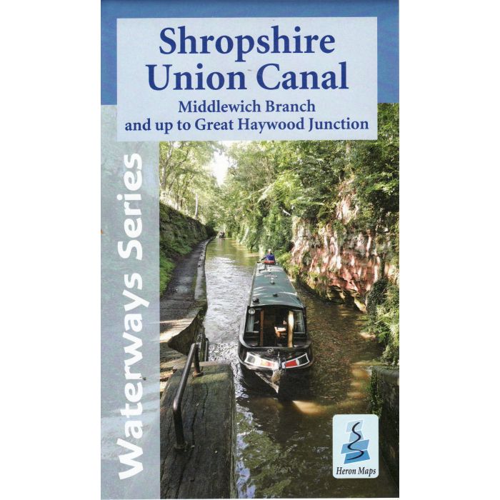
Shropshire Union Canal Laminated
Middlewich Branch and up to Great Haywood Junction
£11.99
In Stock
Usually dispatched within 24 hrs. Free delivery to UK for orders £25 and over
| Cordee Code: | CTK693 |
|---|---|
| Publisher: | Map Laminators |
| Published Date: | February 2016 |
| Binding: | Waterproof Map (folded) |
| Weight: | 100g |
| Product Type: | Map |
| Countries: | United Kingdom |
A full colour Laminated map of the Shropshire Union Canal suitable for both waterways and leisure users.
This laminated map gives detailed coverage of the Shropshire Union Canal, including the Middlewich Branch and the Staffs. & Worcs. Canal, from Autherley Junction to Great Heywood Junction on the Trent & Mersey Canal, with emphasis on the waterways and information useful and relevant to users of the waterways without neglecting other leisure users. The map detail is complimented by information panels and photographs.
A tourist map of the Shropshire Union Canal, Middlewich Branch and up to Great Haywood Junction at 1:50,000, with detailed town plans of Ellesmere Port, Chester, Middlewich, Nantwich, Audlem, Market Drayton and Penkridge at 1:12,500.
Includes navigation and historical information, visitor moorings, marinas and boatyards, boat hire centres, facilities for the boat user, shops and distance markers. Information for the tourist includes tourist information centres, places of interest, pubs, nature reserves, parks, churches, long distance paths, public toilets and caravan and camp sites.