We use cookies to make your experience better. To comply with the new e-Privacy directive, we need to ask for your consent to set the cookies. Learn more
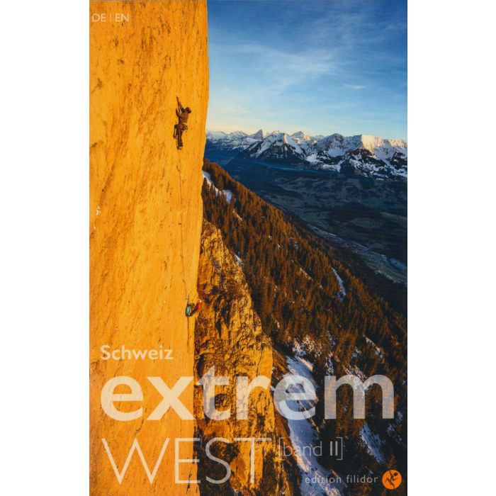
Schweiz Extrem West: Band 2
£49.95
In Stock
Usually dispatched within 24 hrs. Free delivery to UK for orders £25 and over
| Cordee Code: | CCE825 |
|---|---|
| Page Size: | 120 x 185 mm |
| No of Pages: | 264 |
| Publisher: | Filidor-verlag |
| ISBN13: | 9783906087610 |
| Author: | von Kanel |
| Language: | German |
| Published Date: | May 2025 |
| Edition: | 1st: May 2025 |
| Binding: | Paperback (flapped) |
| Illustrations: | photo topos |
| Weight: | 360g |
| Geoarea: | Alps Central Eastern Alps (austria, Switzerland, And Italy) |
| Product Type: | Guide Books |
| Countries: | Switzerland |
The Schweiz Extrem West Band 2 guidebook (topo) describes a selection of extreme multi-pitch routes at grades from F6a and above, in the Western Swiss Alps around Interlaken. It covers an area from Fribourg via the Bernese Oberland to Vaud as well as some areas in Valais.
In total 43 separate crags are described with the emphasis on long alpine multi-pitch routes. Some of the crags included are Eiger, Wendenstocke (Wenden), Petit Clocher du Portalet, Gastlosen, Gross Bielenhorn, Klein Bielenhorn, and Graue Wand.
All the routes are shown on clear topos, with all the routes given French grades for each pitch. Symbols are used to indicate what rock equipment is required, including any trad gear if appropriate, along with further information regarding altitude, and aspect. At the start of each area there is a good location map, approach information, and GPS co-ordinates for the parking areas. Published in May 2025 this guidebook is written in German and English text throughout.