We use cookies to make your experience better. To comply with the new e-Privacy directive, we need to ask for your consent to set the cookies. Learn more
Schmallenmountainsr Sauerland Bad Fredeburg Kahler Asten
£8.90
In Stock
Usually dispatched within 24 hrs. Free delivery to UK for orders £25 and over
| Cordee Code: | FB1498 |
|---|---|
| Page Size: | 90 x 200 mm |
| Publisher: | Freytag & Berndt |
| ISBN13: | 9783747304921 |
| Binding: | Sheet Map (folded) |
| Weight: | 70g |
| Product Type: | Map |
| Countries: | Germany |
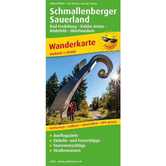
The Schmallenberger Sauerland hiking map presents a region in the Sauerland low mountain range that is very attractive for hikers. Its scale of 1:30,000 gives the user a good overview of the area around Schmallenberg. But districts of Winterberg are also presented here and on the Oberhundem - Wingeshausen inset map. On the back you can find out that the paths not only lead through a varied forest landscape, but also offer special experiences for young and old. Examples include the forest sculpture trail and the Schmallenberg wood adventure trail.