We use cookies to make your experience better. To comply with the new e-Privacy directive, we need to ask for your consent to set the cookies. Learn more
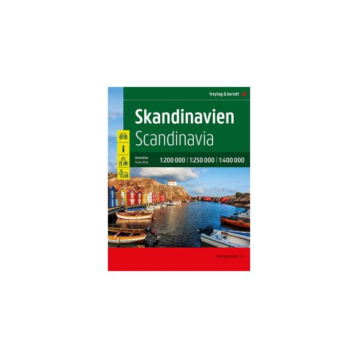
Scandinavia Road Atlas
1:200 000 , 1:250 000, 1:400 000
£36.90
In Stock
Usually dispatched within 24 hrs. Free delivery to UK for orders £25 and over
| Cordee Code: | FB1591 |
|---|---|
| Page Size: | 235 x 297 mm |
| No of Pages: | 466 |
| Publisher: | Freytag & Berndt |
| ISBN13: | 9783707922523 |
| Edition: | 2023 |
| Binding: | Spiral/wirobound |
| Illustrations: | folded colour map |
| Weight: | 1350g |
| Product Type: | Map |
| Countries: | Finland |
The Road Atlas Scandinavia 1:200,000 - 400,000 is the right companion for all holidaymakers who are traveling by car in the far north and also want to get to know the area to the left and right of the motorway. It is ideal for planning and also proves to be an indispensable guide during the trip.
With the detailed map image and the exact scale, you can also discover less traveled side roads. Beautiful scenic routes are highlighted in color.
Information about the Scandinavia road atlas
Scale 1:200,000: Denmark
Scale 1:250,000: Norway South, Sweden South
Scale 1:400,000: Norway North, Sweden North, Finland
Spiral binding covered
Tourist information
Location register with postal codes
Camping and pitches
14 city center maps
466 pages, format 23.5 x 29.7 cm
The ideal car atlas for Scandinavia
The dense road network is accurately depicted, scenic sections and tourist routes are highlighted in color and many excursion destinations are shown on the map.
Drivers and motorcyclists particularly appreciate freytag & berndt's precise cartography for planning and on-site orientation. So that the trip can be easily planned even with a motorhome, caravan or camper, all campsites and parking spaces are marked in the atlas.
Concealed spiral binding
The Autoatlas Scandinavia is particularly comfortable to use as it can be easily opened thanks to the spiral binding. This means that the desired page always remains open, even while driving.
Downtown plans
With the included city maps you can easily orientate yourself in the cities, including Bergen, Gothenburg, Helsinki, Copenhagen, Malm? and Oslo.