We use cookies to make your experience better. To comply with the new e-Privacy directive, we need to ask for your consent to set the cookies. Learn more
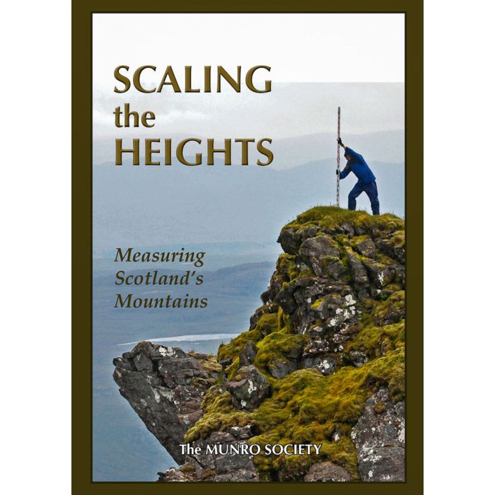
Scaling the Heights
Measuring Scotland's Mountains
£12.00
Temp Out Of Stock
| Cordee Code: | CWN504 |
|---|---|
| Page Size: | 175 x 245 mm |
| No of Pages: | 145 |
| Publisher: | The Munro Society |
| ISBN13: | 9781999629304 |
| Author: | The Munro Society |
| Published Date: | July 2019 |
| Edition: | 1st ed, 2019 reprimt |
| Binding: | Hardback |
| Illustrations: | Colour photos |
| Weight: | 588g |
| Product Type: | Book |
| Countries: | Scotland |
Ever since Hugh Munro drew up his Tables, there has been an interest in checking the heights of hills, not least by Munro himself using a pocket aneroid.
With the advent of satellite GPS technology, precision has greatly improved. The Munro Society embarked on an eight year programme of measuring some of the more 'marginal' Munros, Munro Tops and Corbetts.
The first two chapters of the book cover the creation of the Tables and the changes that have taken place over the years. The subsequent chapters describe how the Munro Society decided to take action to establish the heights of many of these 'marginal' mountains. The science behind using satellites to determine the heights of hills and mountains, together with the rigorous procedures demanded by the Ordnance Survey (OS) before it accepts revised heights, are described.
The book includes contributions from people who took part in the Heightings programme and it finishes with a chapter on the many hill lists which have followed on from Munro?s original one.
It is a fascinating account of the history, science and practicalities of 'measuring the mountains'.