We use cookies to make your experience better. To comply with the new e-Privacy directive, we need to ask for your consent to set the cookies. Read our privacy and security policy

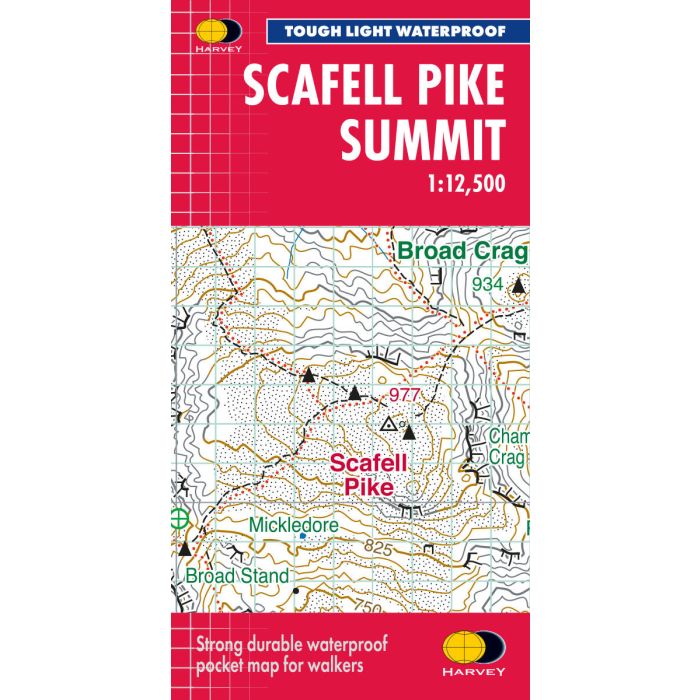
Scafell Pike XT40 Summit Map 1:12,500 Lake District
£8.50
Temp Out Of Stock
| Cordee Code: | CMH408 |
|---|---|
| Page Size: | 72 x 150 mm |
| No of Pages: | 1 |
| Publisher: | Harvey Maps |
| ISBN13: | 9781851377329 |
| Scale: | 1:12 500 |
| Published Date: | June 2010 |
| Edition: | 2026 |
| Binding: | Waterproof Map (folded) |
| Weight: | 30g |
| Geoarea: | Lake District |
| Product Type: | Map |
| Countries: | United Kingdom |
This summit map for Scafell provides a detailed enlarged map for hillwalkers, with a scale of 1:12,500. It is useful for detailed navigation in this complex area, particularly in poor conditions. with a 100m grid for use with GPS or a romer. It is tough, light, waterproof.

