We use cookies to make your experience better. To comply with the new e-Privacy directive, we need to ask for your consent to set the cookies. Learn more
Santo Antao Cape Verde 140000
£15.99
Temp Out Of Stock
1:50,000 Hiking and walking map of Santo Antao in the Cape Verde Islands. A detailed topographical map with an English keysheet and routes, roads and places of interest shown on the map.
| Cordee Code: | CMW425 |
|---|---|
| Page Size: | 105 x 230 mm |
| Publisher: | Ab Karten-verlag |
| ISBN13: | 9783934262331 |
| Scale: | 1:40,000 |
| Language: | English |
| Published Date: | October 2022 |
| Edition: | 2022 edition |
| Binding: | Sheet Map (folded) |
| Illustrations: | Colour photos on rear of sheet |
| Weight: | 70g |
| Product Type: | Map |
| Countries: | Cape Verde |
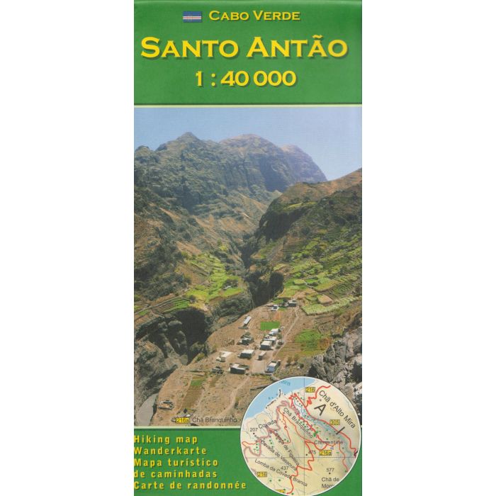
1:40,000 Hiking and walking map of Santo Antao in the Cape Verde Islands. A detailed topographical map with an English keysheet and routes, roads and places of interest shown on the map.
Includes a detailed 1:10,000 map of Cidade do Porto Novo and a number of colour photos on the reverse, showing local places of interest, relating to numbered routes described on the map. The descriptions show the average time of the route, the quality of the track (following a description they give), the ascent and total descent.
Includes a detailed 1:10,000 map of Cidade do Porto Novo and a number of colour photos on the reverse, showing local places of interest, relating to numbered routes described on the map. The descriptions show the average time of the route, the quality of the track (following a description they give), the ascent and total descent.
-
 Atlantic IslandsAzores, Madeira, Canary and Cape Verde Islands£40.00
IYP080
Refer To Cus ServOut of stock