We use cookies to make your experience better. To comply with the new e-Privacy directive, we need to ask for your consent to set the cookies. Learn more
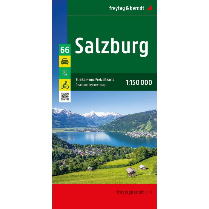
Salzburg, Road and Leisure map 1:150000, Top 10 Tips
£12.90
In Stock
Usually dispatched within 24 hrs. Free delivery to UK for orders £25 and over
| Cordee Code: | FB1690 |
|---|---|
| Page Size: | 130 x 255 mm |
| Publisher: | Freytag & Berndt |
| ISBN13: | 9783707923919 |
| Published Date: | June 2025 |
| Edition: | 2025 |
| Binding: | Sheet Map (folded) |
| Weight: | 130g |
| Product Type: | Map |
| Countries: | Austria |
With the Salzburg road and leisure map at a scale of 1:150,000, vacationers traveling by car, motorcycle, or caravan will find their way around easily. The extensive road network is accurately depicted, and all major cycling routes, distances, and many excursion destinations are marked on the map.
Information about the Salzburg road map
Scale 1:150,000
Cycling routes
Tourist information
With info guide
Campsites and pitches
Place register with postcodes
9 city maps e.g. Salzburg, Radstadt, Bad Gastein
approx. 122 x 87 cm
Car and motorcycle drivers particularly appreciate freytag & berndt's precise cartography for planning and orientation on site. Caravan drivers and campers will, of course, find all campsites and parking spaces on the map.
This map is sheet 66 of the Austria map series.
The Austria map series consists of 8 sheets:
Sheet 11: Lower Austria
Sheet 22: Upper Austria
Sheet 33: Burgenland
Sheet 44: Styria
Sheet 55: Carinthia
Sheet 66: Salzburg
Sheet 77: Tyrol
Sheet 88: Vorarlberg
Top Tips:
The reverse of the map provides brief descriptions of the region's most important sights in German, English, French, and Italian.
Printed in Austria.