We use cookies to make your experience better. To comply with the new e-Privacy directive, we need to ask for your consent to set the cookies. Learn more
Rothaarsteig, Brilon Dillenburg
£16.90
In Stock
Usually dispatched within 24 hrs. Free delivery to UK for orders £25 and over
| Cordee Code: | FB1025 |
|---|---|
| Page Size: | 90 x 200 mm |
| Publisher: | Freytag & Berndt |
| ISBN13: | 9783899204384 |
| Published Date: | May 2019 |
| Binding: | Sheet Map (folded) |
| Weight: | 70g |
| Product Type: | Map |
| Countries: | Germany |
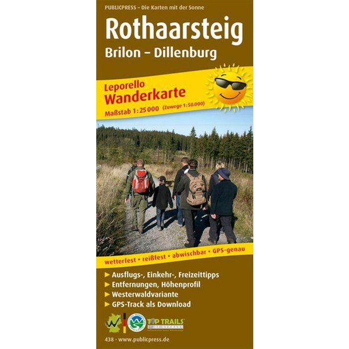
The hiking map presents the hiking trail of the same name, which leads over the crest of the Rothaargebirge from Brilon to Dillenburg. It connects the Westerwald, the Wittgensteiner Land, the Siegerland and the Sauerland. The leporello fold makes it possible to view the route in individual manageable sections; Highlights such as the Bruchhauser Steine, the Kahle Asten or Bad Berleburg Castle are presented with images and text between the map sections. The last pages of the Rothaarsteig hiking map also provide information about the Westerwald variant.