We use cookies to make your experience better. To comply with the new e-Privacy directive, we need to ask for your consent to set the cookies. Learn more
River Wye Canoe Map 1
Glasbury to Hoarwithy
£8.95
In Stock
Usually dispatched within 24 hrs. Free delivery to UK for orders £25 and over
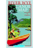
This is one of two strip maps for anyone wanting to explore the river Wye by canoe. Designed by canoeists for canoeists, it is very much a 'hands on' map - waterproof and easy to use whilst paddling down the river - it even floats! It shows all the essential paddling information as clearly as possible at a large scale - 1:36,000. There are two maps in the series - this map covers the section from Glasbury to Hoarwithy (the section from Hoarwithy to Chepstow is a separate map - 9780995751316; CTK707).
| Cordee Code: | CTK706 |
|---|---|
| Page Size: | 95 x 174 mm |
| Publisher: | Rivers Publishing |
| ISBN13: | 9780995751309 |
| Scale: | 1:36,000 |
| Author: | Editor Peter Knowles |
| Published Date: | April 2017 |
| Edition: | 1st ed, 2017 |
| Binding: | Waterproof Map (folded) |
| Weight: | 20g |
| Product Type: | Map |
| Countries: | United Kingdom |
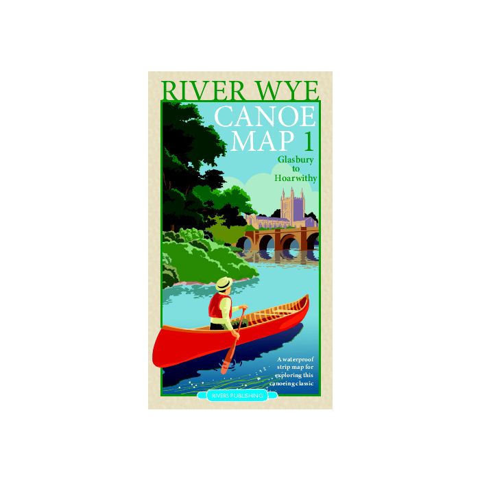
This is one of two strip maps for anyone wanting to explore the river Wye by canoe. Designed by canoeists for canoeists, it is very much a 'hands on' map - waterproof and easy to use whilst paddling down the river - it even floats! It shows all the essential paddling information as clearly as possible at a large scale - 1:36,000.
There are two maps in the series - this map covers the section from Glasbury to Hoarwithy (the section from Hoarwithy to Chepstow is a separate map - 9780995751316). This map includes Glasbury, Hay on Wye, Hereford and Hoarwithy.
The two maps cover all 161 km of the most popular canoeing stretch of the river from Glasbury to Chepstow. These are 'strip maps' - with 4 convenient sections on each map showing the river and the countryside on each side of the river. The base mapping uses O.S. geodata which has been edited and enhanced to show essential information as clearly as possible. The maps show roads, towns, villages, footpaths, rivers, streams, lakes, churches, farms, houses, woods and hills. Physical relief is shown with a contour interval of 10m.
Canoeing information is highlighted with colour boxes and symbols to show recommended launch sites, rapids, campsites, pubs, cafes and canoe hire bases. There are brief guidance notes on paddling the river Wye and essential information for key sections. There are also up to date notes on other information sources - websites, books, etc. It should be invaluable for anyone planning a single or multi-day trip. Printed on polyart waterproof paper.