We use cookies to make your experience better. To comply with the new e-Privacy directive, we need to ask for your consent to set the cookies. Learn more
Rennsteig, Horschel Blankenstein
£14.90
In Stock
Usually dispatched within 24 hrs. Free delivery to UK for orders £25 and over
| Cordee Code: | FB1032 |
|---|---|
| Page Size: | 90 x 200 mm |
| Publisher: | Freytag & Berndt |
| ISBN13: | 9783899203059 |
| Binding: | Sheet Map (folded) |
| Weight: | 70g |
| Product Type: | Map |
| Countries: | Germany |
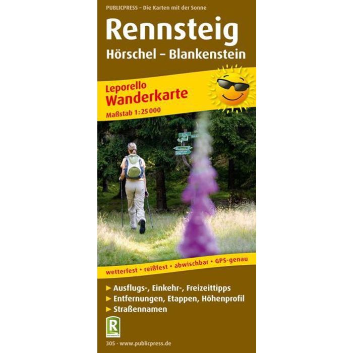
The Rennsteig hiking map is dedicated to the Thuringian Rennsteig, a high-altitude hiking trail that leads from H?rschel near Eisenach to Blankenstein near the Bavarian town of Hof. The Rennsteig is a trade route between Thuringia and Franconia that has been in use since the Middle Ages. The practical Leporello fold divides it into thirty-four sections. The Rennsteig runs for long stretches through the Thuringian Forest Nature Park, which inspires hikers with dense spruce forests, caves, interesting rock formations and rare flora and fauna.