We use cookies to make your experience better. To comply with the new e-Privacy directive, we need to ask for your consent to set the cookies. Learn more
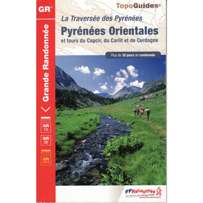
Pyrenees Orientales GR10 and GR36 TOPOGUIDE FFRP
Et Tours du Capcir, du Carlit et de Cerdagne
£19.99
Temp Out Of Stock
The GR10 crosses from the Bay of Biscay through the Pyrenees to the Mediteranean on the French side of the border. This guide covers the section in the Eastern Pyrenees (Merens-les-Valles to the Mediterranean). Extracts from the IGN 1:50 000 maps and elevation plans show the route, with simple descriptions in French more or less understandable by anyone with 'schoolboy French'.
| Cordee Code: | CWE292 |
|---|---|
| Page Size: | 135 x 210 mm |
| No of Pages: | 128 |
| Publisher: | Rando Ed |
| ISBN13: | 9782751406584 |
| Author: | FFRP Topo Guide |
| Published Date: | May 2013 |
| Edition: | 4th ed, May 2013 |
| Binding: | Paperback (flapped) |
| Illustrations: | Colour photos and maps |
| Weight: | 210g |
| Geoarea: | Pyrenees |
| Product Type: | Guide Books |
| Countries: | Spain |
The GR10 crosses from the Bay of Biscay through the Pyrenees to the Mediteranean on the French side of the border. This guide covers the section in the Eastern Pyrenees (Merens-les-Valles to the Mediterranean). Extracts from the IGN 1:50 000 maps and elevation plans show the route, with simple descriptions in French more or less understandable by anyone with 'schoolboy French'. The route also includes part of the GR36 where it coincides with the GR10.
-
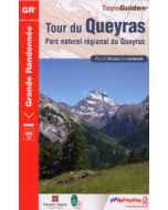 Tour du Queyras GR58 and GR541 TOPOGUIDE FFRP ref 505Ceillac - Chateau-Queyras - Mont-Dauphin£16.95
CWE117
Refer To Cus Serv -
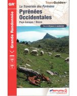 Pyrenees Occidentales GR10 and GR8 TOPOGUIDE FFRP ref 1086Pays Basque - Bearn£19.99
CWE125
Temp Out Of Stock