We use cookies to make your experience better. To comply with the new e-Privacy directive, we need to ask for your consent to set the cookies. Learn more
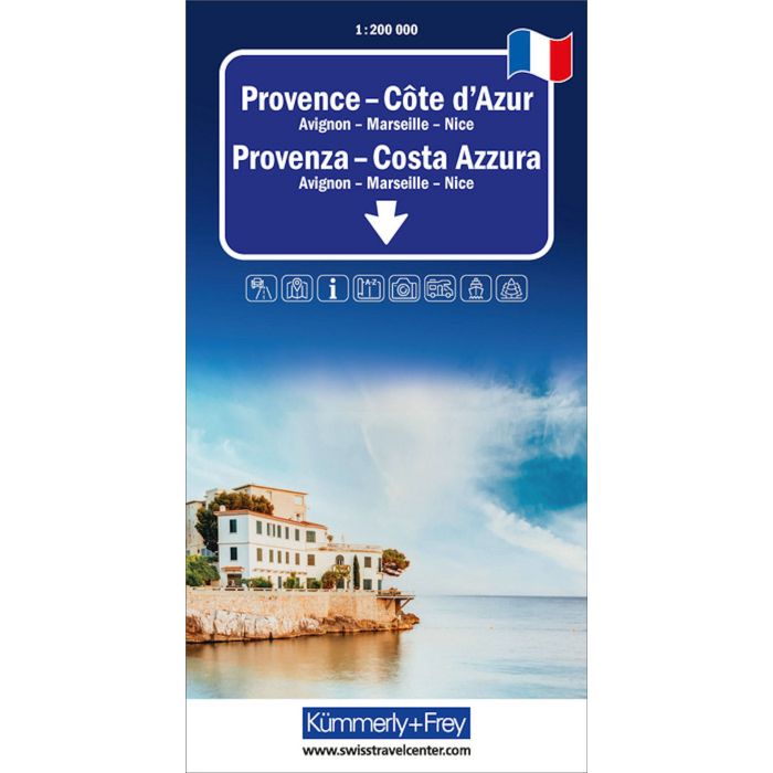
Provence Cote dAzur Regional Road Map
Avignon - Marseille - Nice
£14.99
In Stock
Usually dispatched within 24 hrs. Free delivery to UK for orders £25 and over
| Cordee Code: | KF0020 |
|---|---|
| Page Size: | 130 x 250 mm |
| No of Pages: | 2 |
| Publisher: | Kummerly And Frey |
| ISBN13: | 9783259300084 |
| Scale: | 1:200 000 |
| Author: | Kummerly + Frey |
| Published Date: | February 2025 |
| Edition: | 2025 |
| Binding: | Sheet Map (folded) |
| Weight: | 160g |
| Product Type: | Map |
| Countries: | France |
The Kummerly & Frey road map Provence, C?te d?Azur at a scale of 1:200,000 provides everything you need for orientation and inspiration.
Thanks to clearly marked, easy-to-read, and up-to-date roads, a clean and modern cartographic design, and a high level of detail, this map is the perfect tool to make the most of your visit to this extraordinary region.
The thematic map includes detailed information about towns and the connecting road network. Travelers by car or motorcycle will easily find their way thanks to clearly displayed motorways, expressways, main roads, secondary roads, and local roads.
Integrated information such as an index of places and travel details complete this cartographic work.
This foldable map for drivers and motorcyclists is made of durable cover and paper, ensuring long-lasting usability even with frequent use.
If your GPS stops working or your phone runs out of battery, the clearly marked roads, viewpoints, train stations, rest stops, campsites, parking areas, and more will help you stay oriented at all times.