We use cookies to make your experience better. To comply with the new e-Privacy directive, we need to ask for your consent to set the cookies. Learn more
Alps Europe Maps
The Alps Maps collection on Cordee.co.uk is tailored for hikers, climbers, and travelers navigating Europe’s iconic mountain range. Covering popular regions like the French, Swiss, and Austrian Alps, these maps offer detailed topography, trail routes, and elevation information, ensuring users can confidently explore the area’s varied terrains. Whether you’re trekking, skiing, or mountaineering, climbing, cycling or walking, the range includes hiking, topographic, and outdoor activity maps to suit your specific needs. Designed for safe, well-prepared journeys, these maps also feature local attractions and landmarks, making them essential tools for anyone planning to explore the Alps.
-
-
-
-

-
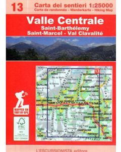 Valle Centrale 13 1:25,000 double-sided, Valtournenche southwards to Champorcher£12.99
CMR074
In Stock -
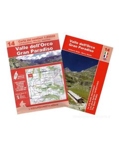 Valle dellOrco Gran Paradiso 14 with accompanying hiking guide in Italian language only£14.99
CMR075
Temp Out Of Stock -
-
-
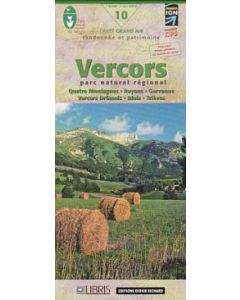 Vercors: Quatre Montagnes Royans Gervanne Diois Trieves - Vercors Dromois 1:60,000£13.99
CMF603
In Stock
Shop By
Filters