We use cookies to make your experience better. To comply with the new e-Privacy directive, we need to ask for your consent to set the cookies. Learn more
Wales Geological Maps
The Wales Geology Maps collection on Cordee.co.uk is an essential resource for geologists, hikers, and nature enthusiasts exploring the geological landscapes of Wales. These detailed maps provide comprehensive information on Wales' geological formations, including rock types, fault lines, and landforms. Whether you're studying the geology of Snowdonia, Brecon Beacons, or the coastal regions, these maps offer valuable insights and guidance for fieldwork and outdoor exploration. Perfect for academic research or geological adventures, these maps help you understand and navigate the unique geological features of Wales.
-
 Tynemouth Solid with drift geology map 1:50 000 scale geology map E15 (England and Wales)£12.00
CGM062
In Stock -
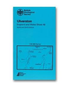 Ulverston Solid and drift geology map 1:50 000 scale geology map E48 (England and Wales)£12.00
CGM338
In Stock -
Ulverston Solid geology map 1:50 000 scale geology map E48 (England and Wales)£12.00
CGM374
In Stock -
Wakefield Solid and drift geology map 1:50 000 scale geology map E78 (England and Wales)£12.00
CGM394
In Stock -
Warwick Solid and drift geology map 1:50 000 scale geology map E184 (England and Wales)£12.00
CGM114
In Stock -
-
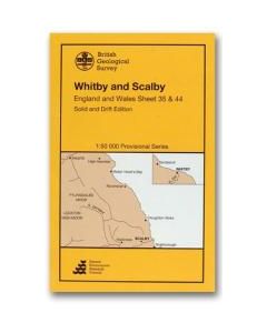 Whitby Scalby Solid and drift geology map 1:50 000 scale geology map E35 (England and Wales)£12.00
CGM390
In Stock
Shop By
Filters