We use cookies to make your experience better. To comply with the new e-Privacy directive, we need to ask for your consent to set the cookies. Learn more
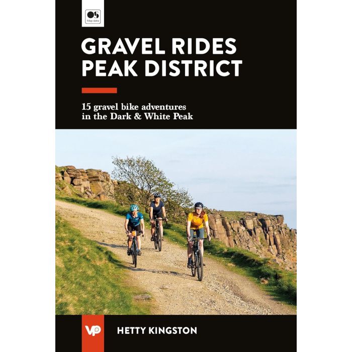
Gravel Rides in the Peak District
15 Gravel Bike Adventures in the Dark and White Peak
£15.95
In Stock
Usually dispatched within 24 hrs. Free delivery to UK for orders £25 and over
| Cordee Code: | CCY374 |
|---|---|
| Page Size: | 120 x 174 mm |
| No of Pages: | 110 |
| Publisher: | Vertebrate Publishing |
| ISBN13: | 9781839812316 |
| Author: | Hetty Kingston |
| Published Date: | July 2024 |
| Edition: | 1st, July 2024 |
| Binding: | Paperback |
| Illustrations: | Colour photos and 1:50 000 mapping |
| Weight: | 170g |
| Geoarea: | Peak District |
| Product Type: | Guide Books |
| Countries: | United Kingdom |
Gravel Rides Peak District showcases 15 of the best gravel bike rides in the stunning Peak District National Park. From 18 to 107 kilometres in length and covering a variety of terrain, there is something for every gravel cyclist.
Explore the fast-rolling, smooth gravel of disused railway lines on the High Peak Trail and Monsal Trail, traverse the breathtaking gritstone Eastern Edges on the edge of Sheffield, and discover unexpected gravel delights tucked away in the most unexpected places in the Dark and White Peak.
Researched, ridden and written by Peak local Hetty Kingston, the routes feature clear and easy-to-use Ordnance Survey maps; easy-to-follow directions; details of distance, timings and difficulty gradings; stunning action photography; refreshment stops and local knowledge; and a detailed appendix. Also included is a link to downloadable GPX files.