We use cookies to make your experience better. To comply with the new e-Privacy directive, we need to ask for your consent to set the cookies. Read our privacy and security policy

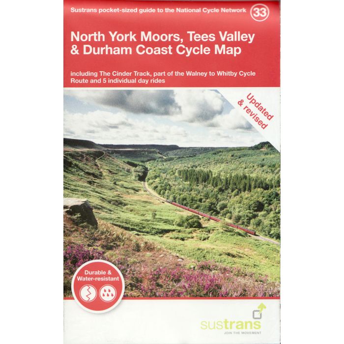
North York Moors, Tees Valley and Durham Coast Cycle Map 33
incl The Cinder Track and part of Walney to Wear
£8.70
In Stock
Usually dispatched within 24 hrs. Free delivery to UK for orders £25 and over
| Cordee Code: | CCY418 |
|---|---|
| Page Size: | 100 x 160 mm |
| No of Pages: | 2 |
| Publisher: | Walk Wheel Cycle Trust |
| ISBN13: | 9781910845806 |
| Scale: | 1:110 000 |
| Published Date: | May 2021 |
| Binding: | Sheet Map (folded) |
| Illustrations: | Full colour thoughout |
| Weight: | 50g |
| Product Type: | Map |
The North York Moors National Park is a beautiful landscape of stunning moorland, spectacular coast, ancient woodland and historic sites covering over 1,400 square kilometres.
National Route 1 links Seaside Redcar, Saltburn and Staithes, and continues south from Whitby as the traffic-free Cinder Track, hugging the coast to Scarborough and forming part of the Moor to Sea Cycle Network. This route also connects with Great Ayton ? the boyhood home of famous explorer Captain James Cook, Pickering market town, and Dalby Forest (home to a range of mountain biking trails) in a series of loops.
From Whitby heading west, National Route 165 runs up the undulating Esk Valley and over into the Tees Valley to link with Middlesbrough, Stockton-on-Tees (and the Castle Eden Walkway) and Darlington. This route passes stations at picturesque villages on the Esk Valley Railway, and is part of the Walney to Whitby coast to coast route.
National Route 65 takes in the dramatic western scarp of the National Park formed by the Cleveland and Hambleton Hills, with nearby Mount Grace Priory, the National Park Centre with superb view point at Sutton Bank, and Byland Abbey above Coxwold. From here are signed National Cycle Network links with Northallerton and Thirsk via Kirby Knowle.
Historic Hartlepool lies on National Route 14 above the mouth of the River Tees and at the southern end of the hidden Durham Heritage Coast. This same route also connects with Durham itself, home to the Cathedral and Castle World Heritage Site.
This pocket-sized colour map shows clearly mapped on-road and traffic-free paths, easy-to-read contours, and detailed inset maps for the major towns and cities as well as recommended linking routes connecting the NCN with quiet roads. The map also features 5-day rides with directions and a description of the area, highlighting key cycle routes, local history and places of interest.
National Route 1 links Seaside Redcar, Saltburn and Staithes, and continues south from Whitby as the traffic-free Cinder Track, hugging the coast to Scarborough and forming part of the Moor to Sea Cycle Network. This route also connects with Great Ayton ? the boyhood home of famous explorer Captain James Cook, Pickering market town, and Dalby Forest (home to a range of mountain biking trails) in a series of loops.
From Whitby heading west, National Route 165 runs up the undulating Esk Valley and over into the Tees Valley to link with Middlesbrough, Stockton-on-Tees (and the Castle Eden Walkway) and Darlington. This route passes stations at picturesque villages on the Esk Valley Railway, and is part of the Walney to Whitby coast to coast route.
National Route 65 takes in the dramatic western scarp of the National Park formed by the Cleveland and Hambleton Hills, with nearby Mount Grace Priory, the National Park Centre with superb view point at Sutton Bank, and Byland Abbey above Coxwold. From here are signed National Cycle Network links with Northallerton and Thirsk via Kirby Knowle.
Historic Hartlepool lies on National Route 14 above the mouth of the River Tees and at the southern end of the hidden Durham Heritage Coast. This same route also connects with Durham itself, home to the Cathedral and Castle World Heritage Site.
This pocket-sized colour map shows clearly mapped on-road and traffic-free paths, easy-to-read contours, and detailed inset maps for the major towns and cities as well as recommended linking routes connecting the NCN with quiet roads. The map also features 5-day rides with directions and a description of the area, highlighting key cycle routes, local history and places of interest.