We use cookies to make your experience better. To comply with the new e-Privacy directive, we need to ask for your consent to set the cookies. Learn more
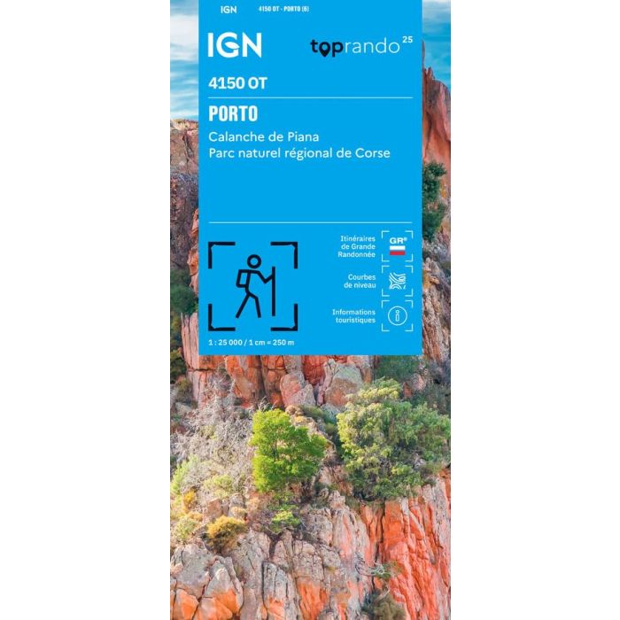
Porto Calanche de Piana 4150 OT
Parc naturel regional de Corse
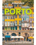
£15.80
In Stock
Usually dispatched within 24 hrs. Free delivery to UK for orders £25 and over
The indispensable hiking map IGN 4150OT.
| Cordee Code: | CMF763 |
|---|---|
| Page Size: | 110 x 240 mm |
| Publisher: | Ign Top 25 Maps |
| ISBN13: | 9782758559559 |
| Published Date: | January 2026 |
| Edition: | 6th Ed, Jan 2026 |
| Binding: | Sheet Map (folded) |
| Weight: | 80g |
| Product Type: | Map |
| Countries: | France |
With great precision, it contains all the details existing on the ground: communication routes down to the smallest path, constructions up to the hangar, wood, isolated tree, river, spring... Without forgetting the representation of the relief by contour lines. Marked trails and tourist information are also represented. Communes covered: Serriera, Galeria, Cristinacce, Manso, Ota, Marignana, Evisa, Renno, Partinello, Osani, Piana Places to discover: Corsica, Gulf of Girolata, Gulf of Porto, Forest of Tetti, Territorial Forest of Aitone, Municipal Forest of Filosorma, Forest of Perticatu, Territorial Forest of Fango, Capu Rossu, Punta Palazzu, Punta a Scopa, Cap Seninu, Capu Tondu, Punta Validori, Punta Bianca, Punta Muchillina, Isola di Gargalu, Paglia Orba, Col de Palmarella, Bocca a Croce, Capu Tafunatu, Capu Licchia, Col de Sevi, Gorges de Spelunca, Punta Muvrare, Chateau de Crans, Abbaye de Bonmont, Castle, Cabane du Carroz, Sapins de Borsattaz, Saut du Day, Grotte de Reclere, Cabane les Pralets, Cabane Rochefort, Signal de Roche d'Or, Cabane Trois Chalets, Chalet de la Dent de Vaution