We use cookies to make your experience better. To comply with the new e-Privacy directive, we need to ask for your consent to set the cookies. Learn more
Pirin Map Bulgaria
£6.99
In Stock
Usually dispatched within 24 hrs. Free delivery to UK for orders £25 and over
| Cordee Code: | BG0019 |
|---|---|
| Page Size: | 125 x 225 mm |
| No of Pages: | 1 |
| Publisher: | Domino Eood |
| ISBN13: | 9789546511386 |
| Scale: | 1:50 000 |
| Binding: | Sheet Map (folded) |
| Weight: | 90g |
| Product Type: | Map |
| Countries: | Bulgaria |
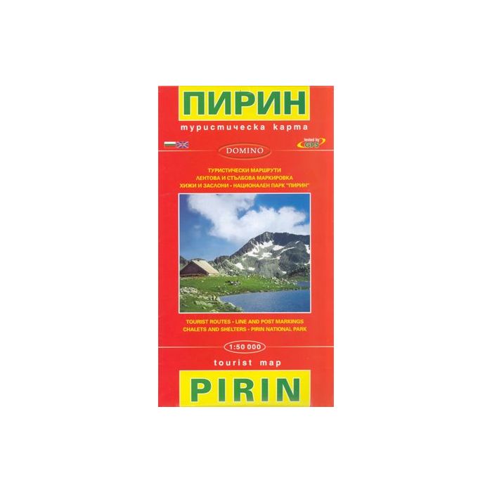
Pirin Mountains at 1:50,000 on a large, double-sided, contoured map with GPS waypoints for shelters and chalets, peaks, etc. and highlighting hiking routes. Topography is shown by contours at 40m intervals with additional relief shading and graphics and colouring for sandstone stacks, single rocks over 5m high, marshlands and different types of woodlands. An overprint highlights hiking routes indicating their waymarking. Also marked are different types of tourist accommodation including campsites, mountain shelters and chalets, restaurants, drinking fountains and springs, etc. The map has latitude and longitude lines at intervals of 5? and an additional list of GPS waypoints. Names of towns and larger villages as well as of most geographical features are in are shown in Cyrillic and Latin alphabets. Map legend includes English. Maps in the Domino series can be used to follow local sections of the E3, E4 and E8 trans-European long-distance routes, although these routes are not specifically named on them