We use cookies to make your experience better. To comply with the new e-Privacy directive, we need to ask for your consent to set the cookies. Learn more
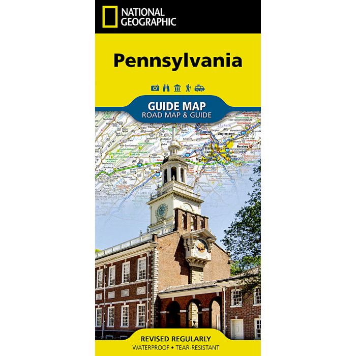
Pennsylvania Map
Guide Maps
£9.95
In Stock
Usually dispatched within 24 hrs. Free delivery to UK for orders £25 and over
| Cordee Code: | NG0147 |
|---|---|
| Page Size: | 100 x 220 mm |
| Publisher: | National Geographic Maps |
| ISBN13: | 9781566957977 |
| Binding: | Sheet Map (folded) |
| Weight: | 80g |
| Product Type: | Map |
| Countries: | United States of America |
Waterproof Tear-Resistant Travel MapWhether traveling for business or leisure, National Geographic's Pennsylvania Guide Map is an essential travel companion. Coverage is unparalleled with a comprehensive road map, combined with more than 10 inset maps detailing cities and metropolitan areas, including Philadelphia, Pittsburgh, Allentown Bethlehem, Allentown, Reading, Scranton Wilkes-Barre, Lancaster, Harrisburg and others. Roads are labeled according to usage and hundreds of points of interest, national and state parks, national forests, campgrounds, visitor centers, airports, ski areas and hospitals are pinpointed. To find your destination quickly, use the convenient index of counties, cities and towns.Visitor information is given for Philadelphia and Pittsburgh, as well as Gettysburg National Park and Amish Country scenic drive, all of which have accompanying inset maps. Descriptions and contact information are provided for many popular points of interest, a calendar of events and national parks which are listed in a chart with their available services. Every State Guide Map is printed on durable synthetic paper, making them waterproof, tear-resistant and tough capable of withstanding the rigors of any kind of travel.