We use cookies to make your experience better. To comply with the new e-Privacy directive, we need to ask for your consent to set the cookies. Learn more
Pennine Way Map Booklet
1:25,000 OS Route Mapping
£12.95
Temp Out Of Stock
| Cordee Code: | CP0143 |
|---|---|
| Page Size: | 116 x 172 mm |
| No of Pages: | 130 |
| Publisher: | Cicerone Press |
| ISBN13: | 9781852849078 |
| Published Date: | March 2017 |
| Edition: | 1st ed, March 2017 |
| Binding: | Paperback (encapsulated) |
| Illustrations: | Colour 1:25,000 mapping |
| Weight: | 180g |
| Product Type: | Map |
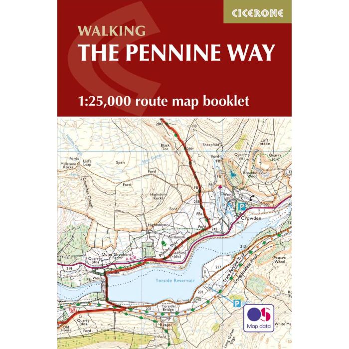
Britain's oldest, toughest and best-known long-distance footpath, the Pennine Way stretches 427km (2651/2 miles) from Edale in Derbyshire to Kirk Yetholm in the Scottish Borders. Showcasing the wild beauty of the North, it crosses three National Parks - the Peak District, Yorkshire Dales and Northumberland National Park - plus the North Pennines Area of Outstanding Natural Beauty and the UNESCO World Heritage Site of Hadrian's Wall. This map booklet contains all the OS 1:25,000 Explorer mapping you need to complete the Pennine Way National Trail, saving the space, weight and expense of multiple map sheets. Conveniently sized to slip in a jacket pocket or rucksack top, it comes in a clear PVC sleeve.
NOTE An accompanying Cicerone guidebook - The Pennine Way - describes the full route from south to north with lots of other practical and historical information. The accompanying guidebook INCLUDES a copy of this map booklet.
NOTE An accompanying Cicerone guidebook - The Pennine Way - describes the full route from south to north with lots of other practical and historical information. The accompanying guidebook INCLUDES a copy of this map booklet.