We use cookies to make your experience better. To comply with the new e-Privacy directive, we need to ask for your consent to set the cookies. Learn more

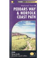
Peddars Way and Norfolk Coast Path
A-Z Adventure Atlas Map 1:25,000
£11.99
In Stock
Usually dispatched within 24 hrs. Free delivery to UK for orders £25 and over
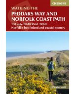
Together, Peddars Way and the Norfolk Coast Path form a 93 mile (150km) National Trail across west Norfolk and along its northern coast. The route is clearly shown on the map and passes through a rich landscape with fantastic scenery, places of interest, and an abundance of wildlife.
| Cordee Code: | CMAZ83 |
|---|---|
| Page Size: | 135 x 240 mm |
| No of Pages: | 72 |
| Publisher: | Geographers A-z |
| ISBN13: | 9780008727734 |
| Published Date: | March 2025 |
| Edition: | 3rd edition, 2025 |
| Binding: | Paperback (flapped) |
| Illustrations: | Colour mapping |
| Weight: | 140g |
| Product Type: | Book |
This National Trail Map features detailed Ordnance Survey mapping at a scale of 1:25 000, providing complete coverage of Peddars Way and the Norfolk Coast Path. There is also a route planner included to show distances between places and the amenities available making it easy to plan your adventure. Additional features include:
-Information Centres
-Hotels/B&Bs
-Youth Hostels
-Campsites (seasonal opening)
-Public Houses
-Shops
-Restaurants
-Cafes (seasonal opening)
-Petrol Stations
-Information Centres
-Hotels/B&Bs
-Youth Hostels
-Campsites (seasonal opening)
-Public Houses
-Shops
-Restaurants
-Cafes (seasonal opening)
-Petrol Stations
Other titles of interest:
-
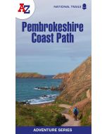 Pembrokeshire Coast Path AZ AdventureA-Z Adventure Atlas Map 1:25,000£9.99
CMAZ81
Temp Out Of StockOut of stock -
Useful maps
-
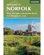 Walking in Norfolk40 circular walks in the Broads, Brecks, Fens and along the£14.95
CP0403
In Stock