We use cookies to make your experience better. To comply with the new e-Privacy directive, we need to ask for your consent to set the cookies. Learn more

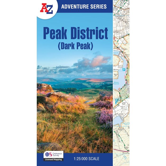
Peak District Dark Peak Adventure Atlas
A-Z Adventure Atlas Map 1:25,000
£11.99
In Stock
Usually dispatched within 24 hrs. Free delivery to UK for orders £25 and over
| Cordee Code: | CMAZ84 |
|---|---|
| Page Size: | 136 x 240 mm |
| No of Pages: | 60 |
| Publisher: | Geographers A-z |
| ISBN13: | 9780008744205 |
| Published Date: | March 2025 |
| Edition: | 3rd: March 2025 |
| Binding: | Paperback (flapped) |
| Weight: | 120g |
| Geoarea: | Peak District |
| Product Type: | Map |
| Countries: | United Kingdom |
The A-Z Adventure series features the accuracy and quality of OS Explorer mapping in a convenient book, complete with index.
The A-Z Adventure series is an innovative concept that utilises Ordnance Survey Explorer mapping in a book, therefore eliminating the need to fold and re-fold a large sheet map to the desired area.
Unlike the original OS sheets, this A-Z Adventure Atlas includes a comprehensive index to towns, villages, hamlets and locations, natural features, nature reserves, car parks and youth hostels, making it easy to find the required location quickly. Each index entry has a page reference and a six figure National Grid Reference. At a book size of 240mm x 134mm it is the same size as a standard OS Explorer map when closed.
This A-Z Adventure Atlas of the Peak District Dark Peak features 50 pages of continuous Ordnance Survey mapping covering: Peak District National Park (northern part), Kinder Scout, Hope Valley, Hathersage, Castleton, Snake Pass & Derwent Valley.