We use cookies to make your experience better. To comply with the new e-Privacy directive, we need to ask for your consent to set the cookies. Learn more
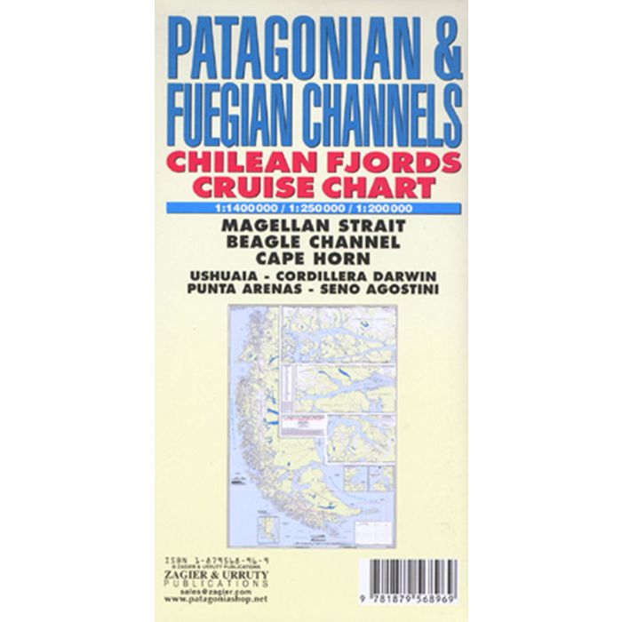
Patagonian and Fuegian Channels Map 1:1,400,000
Chilean Fjords Cruise Chart, 1:250,000, 1:200,000
£13.99
In Stock
Usually dispatched within 24 hrs. Free delivery to UK for orders £25 and over
Historical and hydrographical chart. Cruise log for the intricate coast of the south of South America. Insets of Beagle Channel "Glaciers Avenue", Agostini Fjord, Wulaia Inlet and Romanche Bay. All on one side, 1:1,400,000 overview map, and detailed maps at 1:250,000 and 1:200,000 scale. Printed on tough water and tear resistant material.
| Cordee Code: | CMW647 |
|---|---|
| Page Size: | 135 x 250 mm |
| Publisher: | Zagier & Urruty Publications |
| ISBN13: | 9781879568969 |
| Scale: | 1:1,400,000,1 |
| Author: | Zagier & Urruty |
| Published Date: | January 2012 |
| Binding: | Sheet Map (folded) |
| Weight: | 100g |
| Product Type: | Map |
| Countries: | Argentina |
Historical and hydrographical chart. Cruise log for the intricate coast of the south of South America. Insets of Beagle Channel "Glaciers Avenue", Agostini Fjord, Wulaia Inlet and Romanche Bay. All on one side, 1:1,400,000 overview map, and detailed maps at 1:250,000 and 1:200,000 scale. Printed on tough water and tear resistant material.