We use cookies to make your experience better. To comply with the new e-Privacy directive, we need to ask for your consent to set the cookies. Learn more
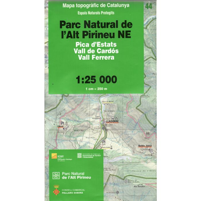
Parc Natural de lAlt Pirineu NE map no44
Pica d'Estats, Vall de Cardos, Vall Ferrera
£14.95
In Stock
Usually dispatched within 24 hrs. Free delivery to UK for orders £25 and over
| Cordee Code: | CMM183 |
|---|---|
| Page Size: | 135 x 245 mm |
| Publisher: | Icc |
| ISBN13: | 9788439393610 |
| Author: | Institut Cartografic de Catalunya |
| Published Date: | July 2010 |
| Edition: | 1st ed, July 2010 |
| Binding: | Sheet Map (folded) |
| Weight: | 120g |
| Product Type: | Map |
| Countries: | Spain |
Topographic survey of Catalonia at 1:25,000 from the Institut Cartografic i Geologic de Catalunya, an attractive alternative to Spain's national topographic survey at this scale, offering a much larger area per sheet with extensive tourist information and vivid presentation of vegetation and land use.
These large, detailed maps have contours at 10m intervals enhanced by hill shading and fine colouring and/or graphics to portray of vegetation or land use (different types of woodlands, marshland, vineyards, crops, etc). An overprint highlights waymarked local and long-distance GR footpaths plus CT cycling routes. Also highlighted are picturesque locations such as villages, isolated buildings or natural features. A very wide range of symbols indicate various facilities, places of interest and recreational sites: tourist information centres, campsites and other rural accommodation, cultural heritage, vineries, wildlife observation areas, viewpoints and beauty spots, sites for recreational pursuits including horse riding, water sports, paragliding, etc
Excellently presented topographic map legend is in Catalan only but the legend for the tourist information and the road network includes English.
-
 Paratge Natural dInteres Nacional de lAlbera 47 1:25,000Catalunya - Alt Emporada£14.95
CMM159
Temp Out Of Stock -