We use cookies to make your experience better. To comply with the new e-Privacy directive, we need to ask for your consent to set the cookies. Learn more
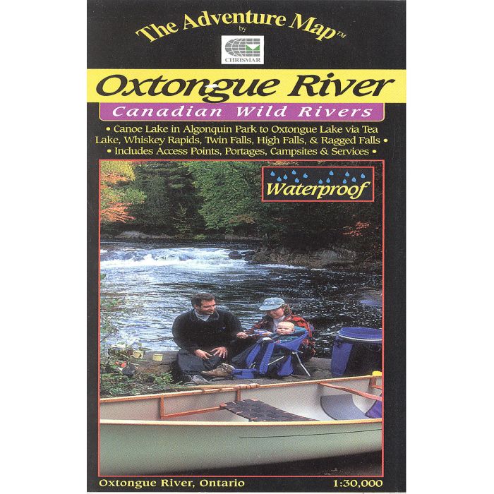
Oxtongue River Map Ontario waterproof
1:30,000
£5.95
Temp Out Of Stock
| Cordee Code: | CMA207 |
|---|---|
| Publisher: | Chrismar Mapping |
| Language: | English |
| Published Date: | October 1999 |
| Weight: | 30g |
| Product Type: | Map |
| Countries: | Canada |
Oxtongue River (Ontario)
Clear, detailed waterproof map.
Made specially for hiking, canoeing and other outdoor pursuits. Up to date, easy to read, handy size, tough and waterproof, eliminates declination problems, detailed info guide included.
Scale 1:30,000
Clear, detailed waterproof map.
Made specially for hiking, canoeing and other outdoor pursuits. Up to date, easy to read, handy size, tough and waterproof, eliminates declination problems, detailed info guide included.
Scale 1:30,000