We use cookies to make your experience better. To comply with the new e-Privacy directive, we need to ask for your consent to set the cookies. Learn more
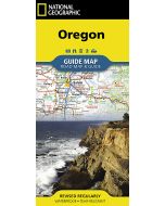
Oregon Recreation Map
National Parks, Monuments, Campgrounds, RV Parks ....
£9.99
In Stock
Usually dispatched within 24 hrs. Free delivery to UK for orders £25 and over
| Cordee Code: | CMA569 |
|---|---|
| Page Size: | 100 x 230 mm |
| Publisher: | Benchmark Maps |
| ISBN13: | 9780783499666 |
| Scale: | 1:800,000 |
| Published Date: | January 2024 |
| Edition: | 2024 |
| Binding: | Sheet Map (folded) |
| Weight: | 60g |
| Product Type: | Map |
| Countries: | United States of America |
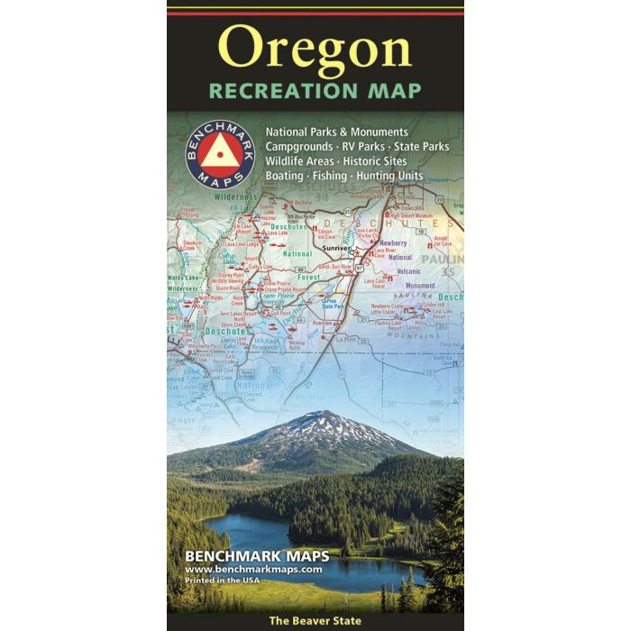
The Oregon Recreation Map is a folded map version of the Recreation Guide pages within Benchmark's Oregon Road & Recreation Atlas. One side provides a full state map that features Public Lands, extensive highway detail, point-to-point mileages, recreation attractions, campgrounds, parks and wildlife areas, fishing access points, and hunting units (GMU). The reverse side features categorized recreation POI listings with helpful descriptions, current contact information, and map grid references.