We use cookies to make your experience better. To comply with the new e-Privacy directive, we need to ask for your consent to set the cookies. Read our privacy and security policy

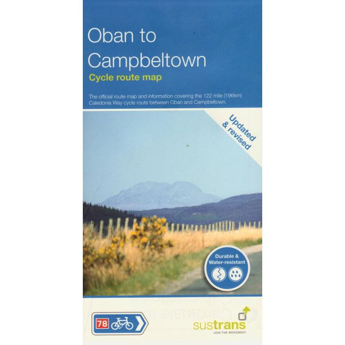
Oban to Cambeltown Sustrans Cycle Route Map
115 mile Caledonia Way cycle route
£10.99
In Stock
Usually dispatched within 24 hrs. Free delivery to UK for orders £25 and over
| Cordee Code: | CCY479 |
|---|---|
| Page Size: | 125 x 235 mm |
| Publisher: | Walk Wheel Cycle Trust |
| ISBN13: | 9781914410475 |
| Published Date: | April 2016 |
| Binding: | Waterproof Map (folded) |
| Weight: | 30g |
| Product Type: | Map |
| Countries: | United Kingdom |
This map covers National Route 78 from Oban to Inverness passing through Fort William, Fort Augustus and along the shore of Loch Ness. It is recommended to take at least three days to cycle this 115-mile route. This is the northern half of The Caledonia Way cycle route - a 237-mile tour from Campbeltown to Inverness.
This full colour map based on Ordnance Survey data shows clearly mapped cycle routes on traffic-free paths, quiet lanes and roads, with easy to read contours and route profile.
Also features:
- Detailed inset maps for the major towns and cities
- Ferry information
- Local Visitor Information Centres
- Cycle hire and repair shops
- Transport links
- Campsites
This full colour map based on Ordnance Survey data shows clearly mapped cycle routes on traffic-free paths, quiet lanes and roads, with easy to read contours and route profile.
Also features:
- Detailed inset maps for the major towns and cities
- Ferry information
- Local Visitor Information Centres
- Cycle hire and repair shops
- Transport links
- Campsites
-
 Ultimate Scottish C2C GuideCoast to Coast Across Scotland by Bike: Annan - Forth Bridge£11.95
CTB016
In Stock