We use cookies to make your experience better. To comply with the new e-Privacy directive, we need to ask for your consent to set the cookies. Learn more
Northumberland Coast Path Trail Map XT40
& Berwickshire Coastal Path
£15.95
In Stock
Usually dispatched within 24 hrs. Free delivery to UK for orders £25 and over
This revised Trail Map covers 94 miles in total. Starting on the Berwickshire Coastal Path from Cocksburnspath to Bernick-upton-Tweed, then continuing along the Northumberland Coast Path to Cresswell.
| Cordee Code: | CMH363 |
|---|---|
| Page Size: | 116 x 243 mm |
| No of Pages: | 1 |
| Publisher: | Harvey Maps |
| ISBN13: | 9781851376681 |
| Scale: | 1:40,000 |
| Author: | Harvey Maps |
| Published Date: | March 2012 |
| Edition: | 2023 |
| Binding: | Waterproof Map (folded) |
| Weight: | 75g |
| Product Type: | Map |
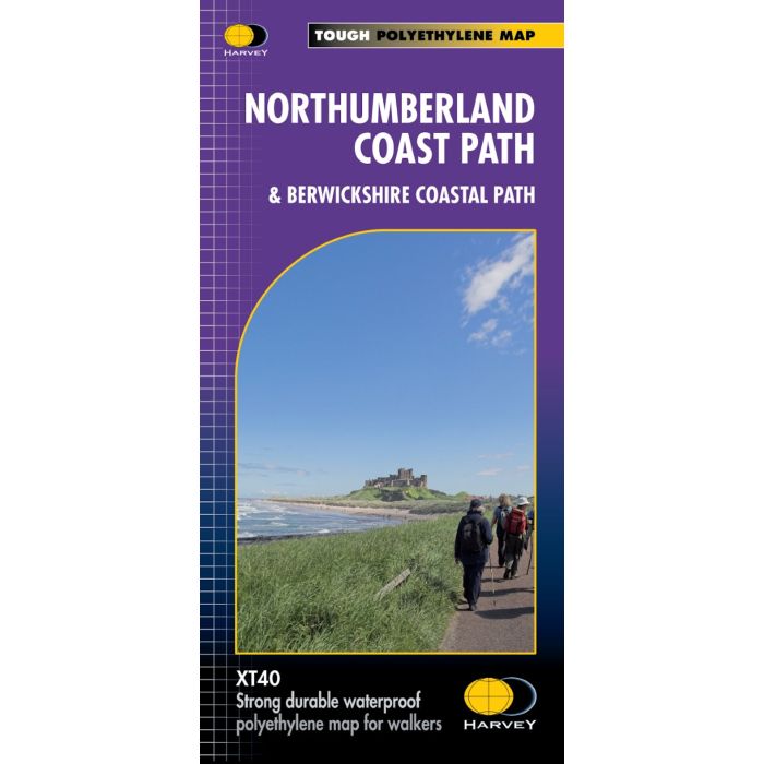
This revised Trail Map covers 94 miles in total. Starting on the Berwickshire Coastal Path from Cocksburnspath to Bernick-upton-Tweed, then continuing along the Northumberland Coast Path to Cresswell.
Showing the updated Route which aligns with the new King Charles ||| England Coast Path.
The XT40 is based on original HARVEY mapping with all the detail a walker would expect on a map at 1:40 000 scale.
Uncluttered by information irrelevant to the walker and less than half the weight of a laminated map.
Printed on tough, light and 100% waterproof paper.
The entire route on one sheet
Shows facilities and services along the route.
Clear and easy to read mapping.
-
 Walking St Oswalds Way and Northumberland Coast PathHeavenfield and Cresswell to Holy Island£16.95
CP0384
In Stock -
Other titles of interest:
-
 Cycling the Reivers RouteCoast to coast through wild Northumberland's border country£11.95
CP0315
In Stock