We use cookies to make your experience better. To comply with the new e-Privacy directive, we need to ask for your consent to set the cookies. Learn more
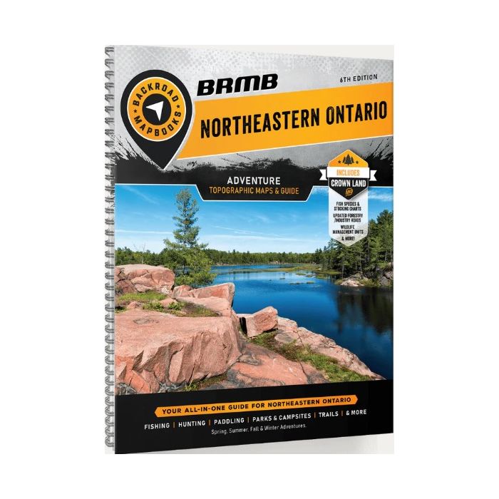
Northeastern Ontario Backroad Mapbook
£19.99
Temp Out Of Stock
| Cordee Code: | BRM014 |
|---|---|
| Page Size: | 215 x 280 mm |
| No of Pages: | 232 |
| Publisher: | Back Road Maps |
| ISBN13: | 9781989175361 |
| Published Date: | April 2024 |
| Edition: | 6th Edition |
| Binding: | Spiral/wirobound |
| Product Type: | Map |
| Countries: | Canada |
Northeastern Ontario is a sprawling region that encompasses much of the Canadian Shield, boasting gorgeous vistas of granite rock, boreal forest and thousands of lakes. Shaped by ancient glacial activity, this wild landscape is full of interconnected streams and rivers, while heading north leads you to the remote and rugged land around Hudson Bay. From the sparkling waters of Georgian Bay to the northern backcountry of Polar Bear Provincial Park, outdoor explorers can enjoy a wealth of opportunity in this sparsely-populated region.
This mapbook includes Chapleau, Cobalt, Cochrane, Elliot Lake, Foleyet, French River, Gogama, Gowganda, Hearst, Kapuskasing, Kirkland Lake, Manitoulin Island, Matchewan, Moosonee, North Bay, Sault Ste. Marie, Sudbury, Temagami, Temiskaming Shores, Timmins, Wawa, and more
Highways, Logging Roads, Crown Land, Land and Water Features, Parks, Adventure Points of Interest, Campgrounds, Hiking Trails, Motorized Trails, Paddling Routes, Hunting and Fishing Areas, Winter Recreation and more