We use cookies to make your experience better. To comply with the new e-Privacy directive, we need to ask for your consent to set the cookies. Learn more
North Northern Bohuslan Coastal Map
1:50,000 scale map
£14.99
In Stock
Usually dispatched within 24 hrs. Free delivery to UK for orders £25 and over
| Cordee Code: | CMV302 |
|---|---|
| Publisher: | Calazo Forlag Ab |
| ISBN13: | 9789186773120 |
| Binding: | Sheet Map (folded) |
| Weight: | 54g |
| Product Type: | Map |
| Countries: | Sweden |
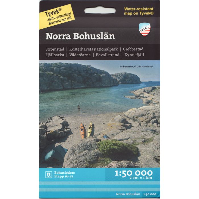
1:50,000 scale map for Northern Bohuslan.
The map covers: Stromstad - Koster - Grebbestad - Fjallbacka - Vaderoarna - Bovallstrand - Kynnefjall.
Double sided map
Topography shown by contours
Hiking paths and skiing routes
Accommodation (huts, refuges and campgrounds)
Road network
Tourist and outdoor activities informations
GPS compatible
The map covers: Stromstad - Koster - Grebbestad - Fjallbacka - Vaderoarna - Bovallstrand - Kynnefjall.
Double sided map
Topography shown by contours
Hiking paths and skiing routes
Accommodation (huts, refuges and campgrounds)
Road network
Tourist and outdoor activities informations
GPS compatible