We use cookies to make your experience better. To comply with the new e-Privacy directive, we need to ask for your consent to set the cookies. Learn more

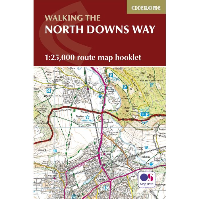
North Downs Way Map Booklet
£9.95
In Stock
Usually dispatched within 24 hrs. Free delivery to UK for orders £25 and over
| Cordee Code: | CP0165 |
|---|---|
| Page Size: | 116 x 172 mm |
| No of Pages: | 80 |
| Publisher: | Cicerone Press |
| ISBN13: | 9781852849559 |
| Published Date: | July 2017 |
| Edition: | 1st ed, July 2017 |
| Binding: | Other |
| Illustrations: | OS 1:25 000 Mapping |
| Weight: | 140g |
| Product Type: | Map |
All the mapping you need to walk the 130 mile (208km) North Downs Way National Trail between Farnham and Dover. One of the easier National Trails, it can be comfortably walked in 11-12 days and includes an optional detour via Canterbury.
This map booklet contains all the OS 1:25,000 Explorer mapping you need to walk the route, saving the space, weight and expense of multiple map sheets. Conveniently sized to slip in a jacket pocket or rucksack top, it comes in a clear PVC sleeve.
NOTE An accompanying Cicerone guidebook - The North Downs Way - describes the full route from West to East with lots of other practical and historical information. The accompanying guidebook INCLUDES a copy of this map booklet.
This map booklet contains all the OS 1:25,000 Explorer mapping you need to walk the route, saving the space, weight and expense of multiple map sheets. Conveniently sized to slip in a jacket pocket or rucksack top, it comes in a clear PVC sleeve.
NOTE An accompanying Cicerone guidebook - The North Downs Way - describes the full route from West to East with lots of other practical and historical information. The accompanying guidebook INCLUDES a copy of this map booklet.