We use cookies to make your experience better. To comply with the new e-Privacy directive, we need to ask for your consent to set the cookies. Read our privacy and security policy

North American Indian Cultures Map Tubed
Reference Maps
£24.95
In Stock
Usually dispatched within 24 hrs. Free delivery to UK for orders £25 and over
| Cordee Code: | NG0715 |
|---|---|
| Page Size: | 580 x 890 mm |
| No of Pages: | 1 |
| Publisher: | National Geographic Maps |
| ISBN13: | 9780792297208 |
| Weight: | 350g |
| Product Type: | Others |
Dimensions: H91cm x W59cm
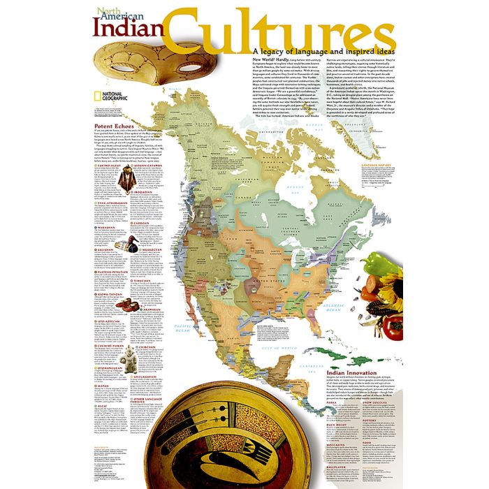
Long before 16th-century Europeans began to explore North America, the land was already home to an estimated 30 million people who spoke diverse languages and complex cultures. This legacy of language and inspired ideas is explored in this compelling North American Indian Cultures map. The map shows a broad sampling of linguistic families throughout the continent along with descriptions of each language group. A special inset highlights Native Americans innovations from parkas and snow goggles to new medicines and agricultural techniques. Coverage ranges from Central America to the farthest reaches of Canada and Alaska, as well as Greenland and the Caribbean Islands. A perfect complement to National Geographic's Indian Country map.
The map is packaged in a two inch diameter tube with a label showing a thumbnail of the map with dimensions and other pertinent information.
Long before 16th-century Europeans began to explore North America, the land was already home to an estimated 30 million people who spoke diverse languages and complex cultures. This legacy of language and inspired ideas is explored in this compelling North American Indian Cultures map. The map shows a broad sampling of linguistic families throughout the continent along with descriptions of each language group. A special inset highlights Native Americans innovations from parkas and snow goggles to new medicines and agricultural techniques. Coverage ranges from Central America to the farthest reaches of Canada and Alaska, as well as Greenland and the Caribbean Islands. A perfect complement to National Geographic's Indian Country map.
The map is packaged in a two inch diameter tube with a label showing a thumbnail of the map with dimensions and other pertinent information.