We use cookies to make your experience better. To comply with the new e-Privacy directive, we need to ask for your consent to set the cookies. Learn more
Norge pa tvers Hiking Map Calazo
£16.99
In Stock
Usually dispatched within 24 hrs. Free delivery to UK for orders £25 and over
| Cordee Code: | CMV370 |
|---|---|
| Publisher: | Calazo Forlag Ab |
| ISBN13: | 9789188779694 |
| Edition: | 2025 |
| Binding: | Sheet Map (folded) |
| Weight: | 100g |
| Product Type: | Map |
| Countries: | Norway |
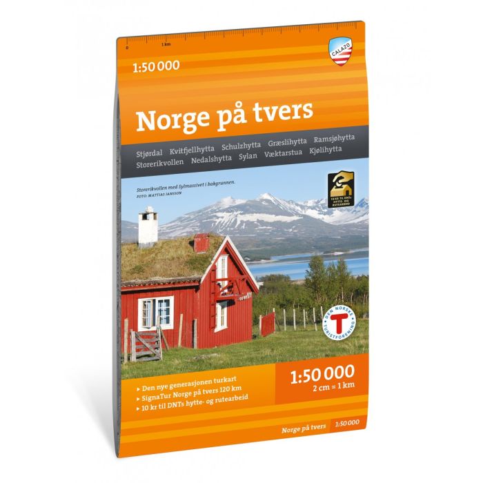
Stjordall - Kvittfjellhytta - Schulzhytta - Graeslihytta - Ramsjohytta - Storerikvollen - Nedalshytta - Sylan - Vaektarstua - Kjolihytta
Norway across is a unique expedition experience of 120 kilometres, divided into 7 day stages through the mountain area of Sylan.
The tour follows the tourist association's marked routes along 63 degrees north with accommodation in serviced and self-service DNT cabins.
This map sheet covers the entire stretch from the fjord in Stjordal to the Swedish border in Tydal with maps on both the front and back.
One of the treats on the trip is the mighty Sylmassive, furthest east in Trondelag. The highest peak, Storsylen (1762 m above sea level), lies barely on the Norwegian side of the Swedish border.
The cross-country map of Norway is published by Calazo in collaboration with Trondhjems Turistforening and Nord-Trondelag Turistforening.
This is part of a modern map series where the terrain information is based on laser scanning from aircraft. The map is made of the material Tyvek, which can withstand water, is protected against tears and has a low weight.