We use cookies to make your experience better. To comply with the new e-Privacy directive, we need to ask for your consent to set the cookies. Learn more
Nikkaluokta Ritsem and Vakkotavare Kungsladen
1:50,000 scale map
£14.99
In Stock
Usually dispatched within 24 hrs. Free delivery to UK for orders £25 and over
| Cordee Code: | CMV299 |
|---|---|
| Publisher: | Calazo Forlag Ab |
| ISBN13: | 9789188335319 |
| Binding: | Sheet Map (folded) |
| Weight: | 54g |
| Product Type: | Map |
| Countries: | Sweden |
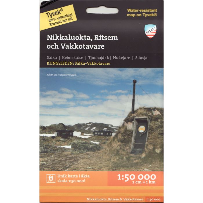
1:50,000 scale map of Nikkaluokta, Ritsem & Vakkotavare (Kungsleden Nikkaluokta-Vakkotavare)
Double sided map
Relief shown by contours
Hiking paths and skiing routes
Accommodation (huts, refuges and campgrounds)
Road network
Tourist and outdoor activities informations
GPS compatible
Double sided map
Relief shown by contours
Hiking paths and skiing routes
Accommodation (huts, refuges and campgrounds)
Road network
Tourist and outdoor activities informations
GPS compatible