We use cookies to make your experience better. To comply with the new e-Privacy directive, we need to ask for your consent to set the cookies. Learn more
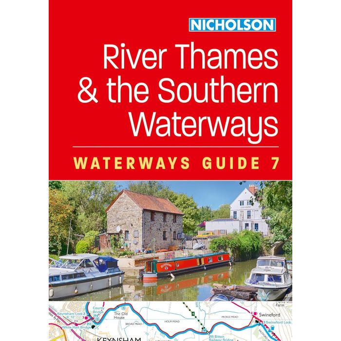
Nicholson Waterways Guide 7
River Thames & the Southern Waterways
£16.99
In Stock
Usually dispatched within 24 hrs. Free delivery to UK for orders £25 and over
| Cordee Code: | CTK790 |
|---|---|
| Page Size: | 148 x 210 mm |
| No of Pages: | 200 |
| Publisher: | Harper Collins |
| ISBN13: | 9780008709921 |
| Author: | Nicholson Waterways Guide |
| Published Date: | January 2025 |
| Edition: | Feb 2025 |
| Binding: | Spiral/wirobound |
| Illustrations: | colour maps + photos |
| Weight: | 340g |
| Product Type: | Guide Books |
| Countries: | United Kingdom |
The bestselling guides to Britain's canals and rivers for 50 years.
For all users of the inland waterways including boaters, walkers, cyclists and visitors, this established, popular and practical guide covers the canals and waterways between Exeter and the River Thames.
Waterways covered in this guide - Basingstoke Canal, Bridgwater & Taunton Canal, Grand Western Canal, Exeter Ship Canal, Kennet & Avon Canal, River Thames, Wey & Godalming Navigations.
The up-to-date, detailed maps clearly show the location of essential features such as locks, towpaths and boating facilities, as well as pubs, shops and restaurants in the area. There are comprehensive navigational notes and descriptive text on the history of each canal, and on local services and places of interest, for which postcodes are included - ideal for use with sat-navs. Scale: 2 inches = 1 mile, 3 cm = 1 km.
This practical A5 guide features 'lie flat' spiral binding and 'book mark' back cover flap for ease of reference.
-
 Oxford, Grand Union & Upper ThamesPearson Canal Companion£11.95
IYW010
Temp Out Of StockOut of stock -
 Pearsons Canal Companion Kennet and Avon, River ThamesOxford, Reading Brentford£14.95
IYW020
In Stock