We use cookies to make your experience better. To comply with the new e-Privacy directive, we need to ask for your consent to set the cookies. Read our privacy and security policy

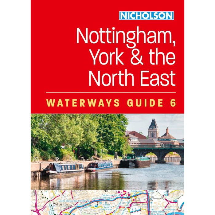
Nicholson Guide to the Waterways 6
Nottingham, York and the North East
£16.99
In Stock
Usually dispatched within 24 hrs. Free delivery to UK for orders £25 and over
The bestselling guides to Britain's canals and rivers for 50 years.
For all users of the inland waterways including boaters, walkers, cyclists and visitors, this established, popular and practical guide covers the canals and waterways between York and the River Trent south of Nottingham.
For all users of the inland waterways including boaters, walkers, cyclists and visitors, this established, popular and practical guide covers the canals and waterways between York and the River Trent south of Nottingham.
| Cordee Code: | CTK788 |
|---|---|
| Page Size: | 148 x 210 mm |
| No of Pages: | 208 |
| Publisher: | Harper Collins |
| ISBN13: | 9780008709914 |
| Author: | OS Waterways 6 |
| Published Date: | February 2025 |
| Edition: | 2025 edition |
| Binding: | Spiral/wirobound |
| Illustrations: | Colour photos and maps |
| Weight: | 370g |
| Product Type: | Guide Books |
Covered in this guide are: Aire & Calder Navigation; Chesterfield Canal; River Derwent and the Pocklington Canal; Fossdyke & Witham Navigations; Grantham Canal; River Ouse, River Ure and Ripon Canal; Selby Canal; South Yorkshire Navigations; and River Trent.
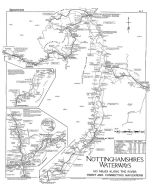
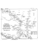
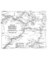
The detailed up-to-date maps clearly show the location of essential features such as locks, towpaths and boating facilities, as well as pubs, shops and restaurants in the area. There are comprehensive navigational notes and descriptive text on the history of each canal, and on local services and places of interest, for which postcodes are included - ideal for use with sat-navs. Scale: 2 inches = 1 mile, 3 cm = 1 km.
This practical A5 guide features 'lie flat' spiral binding and 'book mark' back cover flap for ease of reference.
The detailed up-to-date maps clearly show the location of essential features such as locks, towpaths and boating facilities, as well as pubs, shops and restaurants in the area. There are comprehensive navigational notes and descriptive text on the history of each canal, and on local services and places of interest, for which postcodes are included - ideal for use with sat-navs. Scale: 2 inches = 1 mile, 3 cm = 1 km.
This practical A5 guide features 'lie flat' spiral binding and 'book mark' back cover flap for ease of reference.