We use cookies to make your experience better. To comply with the new e-Privacy directive, we need to ask for your consent to set the cookies. Learn more
New England Road and Recreation Atlas
£34.95
In Stock
Usually dispatched within 24 hrs. Free delivery to UK for orders £25 and over
| Cordee Code: | CMA573 |
|---|---|
| Page Size: | 280 x 380 mm |
| No of Pages: | 192 |
| Publisher: | Benchmark Maps |
| ISBN13: | 9798986387949 |
| Published Date: | January 2025 |
| Edition: | 1st ed, 2025 |
| Binding: | Spiral/wirobound |
| Weight: | 700g |
| Product Type: | Book |
| Countries: | United States of America |
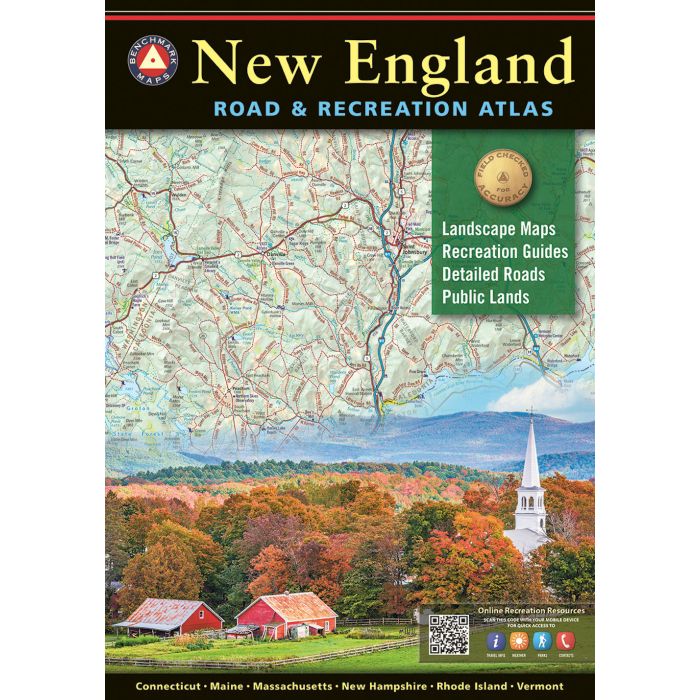
The 1st edition New England Road & Recreation Atlas
covers the states of Maine, New Hampshire, Vermont,
Massachusetts, Connecticut, and Rhode Island. Extensively
researched and field-checked, this atlas brings Benchmark's
trusted brand of cartography to the landscapes of
New England, showcasing the area's endless recreation
opportunities and stunning geography.
Regional Maps with public land boundaries,
recreation points of interest, point-to-point mileages,
hunting areas, and climate graphs
- Categorized listings: Parks & Monuments,
Wildlife Areas & Refuges, Fishing & Boating Access,
Historic Sites & Museums, Ski Areas,
Hiking & Winter Recreation, Campgrounds, and RV Parks
Landscape Maps
- Map scale 1:140,000
- Field-checked back road detail
- Public lands and extensive recreation points of interest