We use cookies to make your experience better. To comply with the new e-Privacy directive, we need to ask for your consent to set the cookies. Learn more
Nebraska State Map
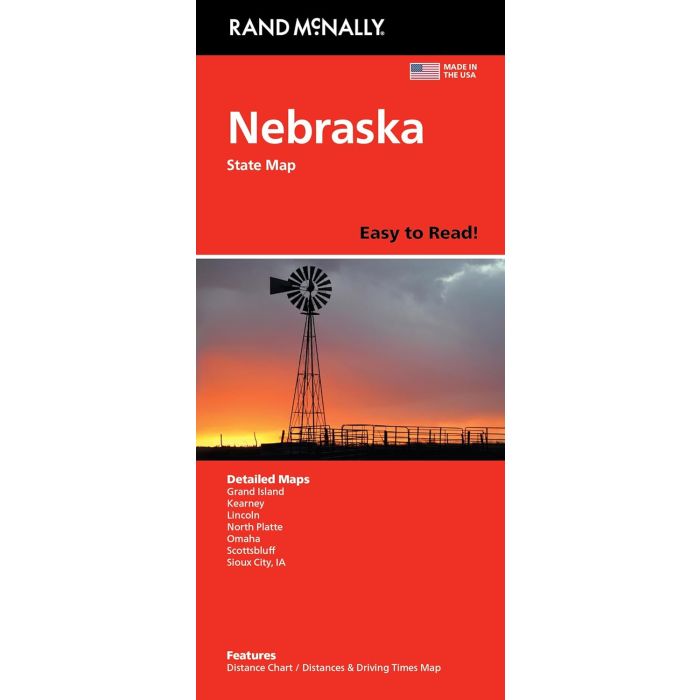
Rand McNally Easy to Read Folded Map:
£9.99
In Stock
Usually dispatched within 24 hrs. Free delivery to UK for orders £25 and over
| Cordee Code: | RM0031 |
|---|---|
| Page Size: | 106 x 240 mm |
| No of Pages: | 2 |
| Publisher: | Rand McNally |
| ISBN13: | 9780528029004 |
| Edition: | 2026 |
| Binding: | Sheet Map (folded) |
| Weight: | 100g |
| Product Type: | Map |
| Countries: | United States of America |
Rand McNally's Easy To Read State Folded Map is a must-have for anyone traveling in and around Nebraska, offering unbeatable accuracy and reliability at a great price. Our trusted cartography shows all Interstate, U.S., state, and county highways, along with clearly indicated parks, points of interest, airports, county boundaries, and streets. The easy-to-use legend and detailed index make for quick and easy location of destinations. You'll see why Rand McNally folded maps have been the trusted standard for years. - Regularly updated, full-color maps. - 47% larger map with a bigger type size than the Rand McNally Folded Map. - Clearly labeled Interstate, U.S., state, and county highways. - Indications of parks, points of interest, airports, county boundaries, and more. - Mileage and driving times map. - Detailed index. - Convenient folded size. Coverage Area Detailed maps of: Grand Island, Lincoln, North Platte, Omaha, Scottsbluff, South Sioux City/Sioux City, IA. Product Details: Dimensions (unfolded): 28 x 40.