We use cookies to make your experience better. To comply with the new e-Privacy directive, we need to ask for your consent to set the cookies. Read our privacy and security policy

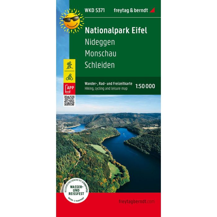
National Park Eifel Nideggen, Monschau, Schleiden
Hiking, Cycling and Leisure Map
£8.90
Temp Out Of Stock
The Eifel National Park hiking, cycling and leisure map offers detailed information about the various hiking and cycling trails in this varied landscape with its forested mountain ridges, raised moorland and the deep Rur valley.
| Cordee Code: | FB0916 |
|---|---|
| Page Size: | 100 x 205 mm |
| No of Pages: | 1 |
| Publisher: | Freytag & Berndt |
| ISBN13: | 9783707920437 |
| Scale: | 1:50,000 |
| Author: | Freytag & Berndt |
| Published Date: | October 2023 |
| Edition: | October 2023 |
| Binding: | Sheet Map (folded) |
| Weight: | 50g |
| Product Type: | Map |
| Countries: | Germany |
The Eifel National Park hiking, cycling and leisure map offers detailed information about the various hiking and cycling trails in this varied landscape with its forested mountain ridges, raised moorland and the deep Rur valley.
The German-Belgian High Fens - Eifel Nature Park and the Eifel Nature Park form the center of the map section.
With the hiking and cycling map you can ideally plan your tours and find out about the sights along the route.
The viewpoints marked as Eifel views make up for the climbs. You can find out where stopovers are worthwhile in the information section of the map.
The German-Belgian High Fens - Eifel Nature Park and the Eifel Nature Park form the center of the map section.
With the hiking and cycling map you can ideally plan your tours and find out about the sights along the route.
The viewpoints marked as Eifel views make up for the climbs. You can find out where stopovers are worthwhile in the information section of the map.