We use cookies to make your experience better. To comply with the new e-Privacy directive, we need to ask for your consent to set the cookies. Read our privacy and security policy

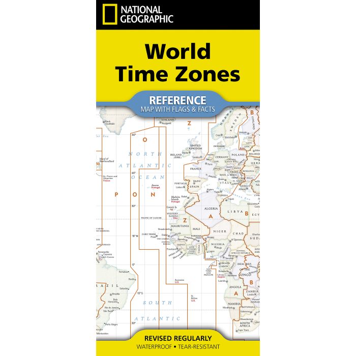
National Geographic World Time Zones Map
[folded with flags and facts]
£14.95
In Stock
Usually dispatched within 24 hrs. Free delivery to UK for orders £25 and over
| Cordee Code: | NG0945 |
|---|---|
| Page Size: | 110 x 230 mm |
| No of Pages: | 2 |
| Publisher: | National Geographic Maps |
| ISBN13: | 9781426378867 |
| Published Date: | September 2026 |
| Edition: | 2026 |
| Binding: | Sheet Map (folded) |
| Weight: | 60g |
| Product Type: | Map |
- Waterproof - Tear-Resistant - Reference Map with Flags & Facts
Discover how the world keeps time with National Geographic's World Time Zones map, a clear and engaging reference derived from the acclaimed National Geographic Atlas of the World. Combining authoritative geographic information with the renowned precision of National Geographic cartography, this map illustrates Earth's system of time zones in an accessible, visually compelling format designed for learning, reference, and display.
Centered on the Prime Meridian at Greenwich, England (0? longitude), the map shows how global time is measured from Greenwich Mean Time (GMT), also known as Coordinated Universal Time (UTC).
Orange boundary lines outline the world's time zones, which generally span approximately 15 degrees of longitude, while labels and corresponding plus or minus values indicate how many hours each zone differs from GMT/UTC.
Produced from the cartographic resources of the National Geographic Atlas of the World
Features National Geographic's Classic style with vibrant colors and easy-to-read detail
Explains global time zones in relation to the Prime Meridian, GMT, and UTC
Shows standard time offsets around the world, including half-hour and 45-minute variations
Highlights how some countries use a single official time zone across their entire territory
Includes flags and facts for countries on the reverse side for added reference and educational value
Informative, attractive, and easy to use, the World Time Zones Map is an ideal resource for classrooms, offices, libraries, and home study, offering a practical and fascinating look at how time connects the world.
Discover how the world keeps time with National Geographic's World Time Zones map, a clear and engaging reference derived from the acclaimed National Geographic Atlas of the World. Combining authoritative geographic information with the renowned precision of National Geographic cartography, this map illustrates Earth's system of time zones in an accessible, visually compelling format designed for learning, reference, and display.
Centered on the Prime Meridian at Greenwich, England (0? longitude), the map shows how global time is measured from Greenwich Mean Time (GMT), also known as Coordinated Universal Time (UTC).
Orange boundary lines outline the world's time zones, which generally span approximately 15 degrees of longitude, while labels and corresponding plus or minus values indicate how many hours each zone differs from GMT/UTC.
Produced from the cartographic resources of the National Geographic Atlas of the World
Features National Geographic's Classic style with vibrant colors and easy-to-read detail
Explains global time zones in relation to the Prime Meridian, GMT, and UTC
Shows standard time offsets around the world, including half-hour and 45-minute variations
Highlights how some countries use a single official time zone across their entire territory
Includes flags and facts for countries on the reverse side for added reference and educational value
Informative, attractive, and easy to use, the World Time Zones Map is an ideal resource for classrooms, offices, libraries, and home study, offering a practical and fascinating look at how time connects the world.